File:England counties 1851 numbered.png
Jump to navigation
Jump to search
Size of this preview: 494 × 599 pixels. Other resolutions: 198 × 240 pixels | 396 × 480 pixels | 633 × 768 pixels | 844 × 1,024 pixels | 1,459 × 1,769 pixels.
Original file (1,459 × 1,769 pixels, file size: 146 KB, MIME type: image/png)
Captions
Captions
Add a one-line explanation of what this file represents
Summary[edit]
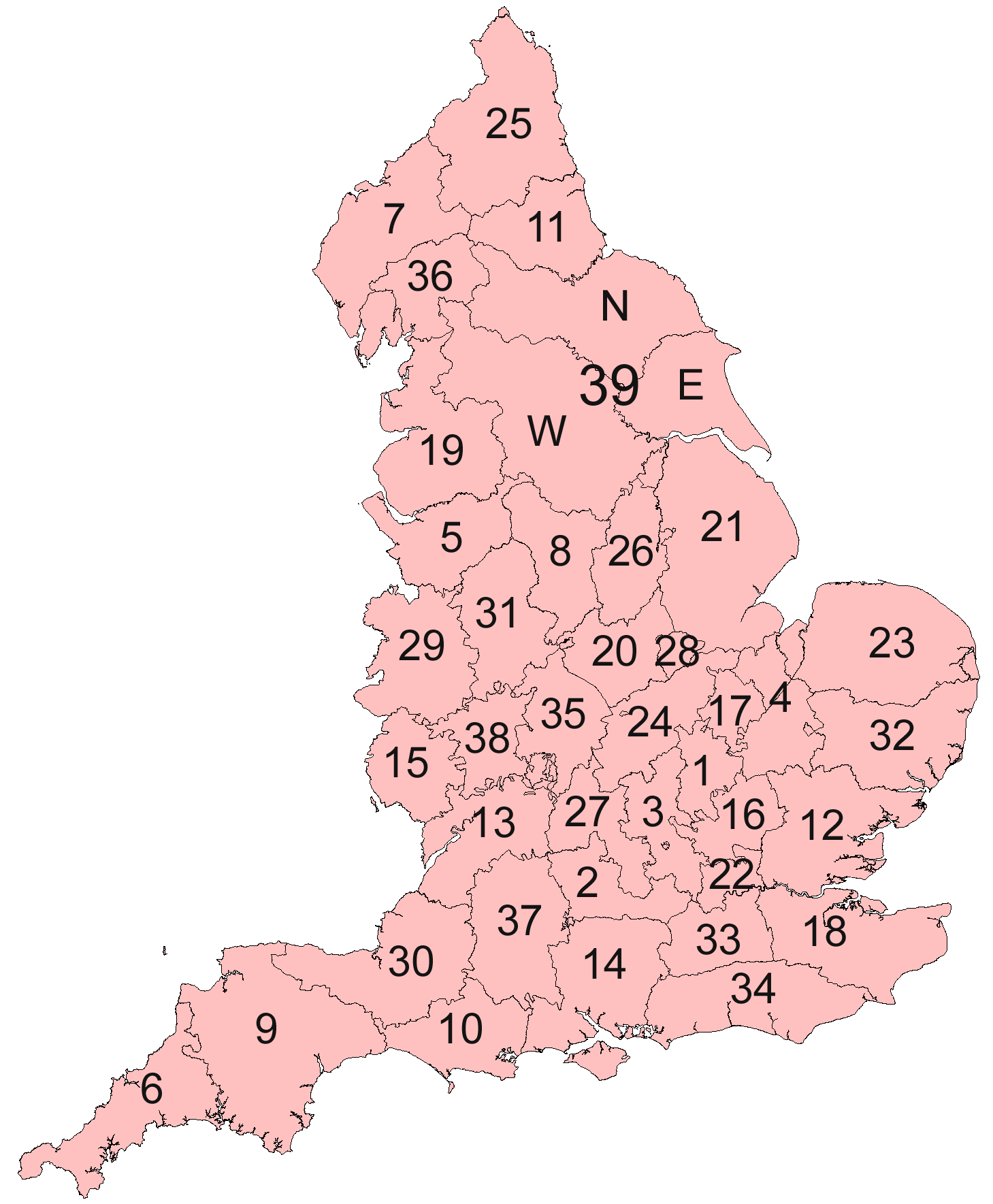
| Description | English counties in 1851 numbered. Some rivers, exclaves, and ridings of Yorkshire shown |
| Date | |
| Source | Own work |
| Author | MRSC |
Licensing[edit]
I, the copyright holder of this work, hereby publish it under the following licenses:
This file is licensed under the Creative Commons Attribution-Share Alike 3.0 Unported license.
- You are free:
- to share – to copy, distribute and transmit the work
- to remix – to adapt the work
- Under the following conditions:
- attribution – You must give appropriate credit, provide a link to the license, and indicate if changes were made. You may do so in any reasonable manner, but not in any way that suggests the licensor endorses you or your use.
- share alike – If you remix, transform, or build upon the material, you must distribute your contributions under the same or compatible license as the original.

|
Permission is granted to copy, distribute and/or modify this document under the terms of the GNU Free Documentation License, Version 1.2 or any later version published by the Free Software Foundation; with no Invariant Sections, no Front-Cover Texts, and no Back-Cover Texts. A copy of the license is included in the section entitled GNU Free Documentation License. |
You may select the license of your choice.
File history
Click on a date/time to view the file as it appeared at that time.
| Date/Time | Thumbnail | Dimensions | User | Comment | |
|---|---|---|---|---|---|
| current | 08:38, 1 August 2010 | | 1,459 × 1,769 (146 KB) | MRSC (talk | contribs) | Captions |
| 07:56, 26 July 2010 |  | 1,459 × 1,769 (150 KB) | MRSC (talk | contribs) | Larger numbers | |
| 07:41, 26 July 2010 |  | 1,459 × 1,769 (136 KB) | MRSC (talk | contribs) | {{Information |Description=English counties in 1851 numbered. Some rivers, exclaves, and ridings of Yorkshire shown |Source={{own}} |Date=26 July 2010 |Author= MRSC |Permission= |other_versions= }} Category:Maps of England |
You cannot overwrite this file.
File usage on Commons
There are no pages that use this file.