File:Entering Flagstaff, Arizona.jpg

Original file (1,744 × 1,308 pixels, file size: 370 KB, MIME type: image/jpeg)
Captions
Captions
Summary[edit]
| Description |
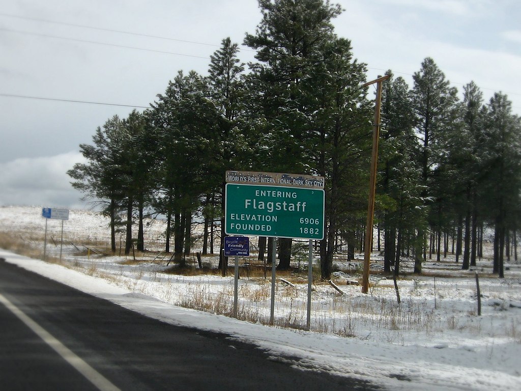
Flagstaff is a city located in northern Arizona, in the southwestern United States. In 2008, the city's estimated population was 60,222. The population of the Metropolitan Statistical Area was estimated at 127,450 in 2007. It is the county seat of Coconino County. The city is named after a Ponderosa Pine flagpole made by a scouting party from Boston (known as the "Second Boston Party") to celebrate the United States Centennial on July 4, 1876. Flagstaff lies near the southwestern edge of the Colorado Plateau, along the western side of the largest contiguous Ponderosa Pine forest in the continental United States. Flagstaff is located adjacent to Mount Elden, just south of the San Francisco Peaks, the highest mountain range in the state of Arizona. Humphreys Peak, the highest point in Arizona at 12,633 feet (3,850 m), is located about 10 miles (16 km) north of Flagstaff in Kachina Peaks Wilderness. Flagstaff's early economy was based on the lumber, railroad, and ranching industries. Today, the city remains an important distribution hub for companies such as Nestlé Purina PetCare and Walgreens, and is home to Lowell Observatory, The U.S. Naval Observatory, the United States Geological Survey Flagstaff Station and Northern Arizona University. Flagstaff has a strong tourism sector, due to its proximity to Grand Canyon National Park, Oak Creek Canyon, the Arizona Snowbowl, Meteor Crater and historic Route 66. The city is also home to medical device manufacturing, including such companies as W. L. Gore and Associates. en.wikipedia.org/wiki/Flagstaff,_Arizona |
| Date | |
| Source |
|
| Author | Ken Lund from Las Vegas, Nevada, USA |
| Camera location | | View this and other nearby images on: OpenStreetMap |
|---|
Licensing[edit]
- You are free:
- to share – to copy, distribute and transmit the work
- to remix – to adapt the work
- Under the following conditions:
- attribution – You must give appropriate credit, provide a link to the license, and indicate if changes were made. You may do so in any reasonable manner, but not in any way that suggests the licensor endorses you or your use.
- share alike – If you remix, transform, or build upon the material, you must distribute your contributions under the same or compatible license as the original.
| This image, originally posted to Flickr, was reviewed on January 20, 2012 by the administrator or reviewer File Upload Bot (Magnus Manske), who confirmed that it was available on Flickr under the stated license on that date. |
File history
Click on a date/time to view the file as it appeared at that time.
| Date/Time | Thumbnail | Dimensions | User | Comment | |
|---|---|---|---|---|---|
| current | 07:46, 20 January 2012 | | 1,744 × 1,308 (370 KB) | File Upload Bot (Magnus Manske) (talk | contribs) | {{Information |Description=Flagstaff is a city located in northern Arizona, in the southwestern United States. In 2008, the city's estimated population was 60,222. The population of the Metropolitan Statistical Area was estimated at 127,450 in 2007. It is |
You cannot overwrite this file.
File usage on Commons
There are no pages that use this file.