File:Eve Black Coastal Walkway and A193 - geograph.org.uk - 1735169.jpg
Jump to navigation
Jump to search
No higher resolution available.
Eve_Black_Coastal_Walkway_and_A193_-_geograph.org.uk_-_1735169.jpg (640 × 480 pixels, file size: 82 KB, MIME type: image/jpeg)
Captions
Captions
Add a one-line explanation of what this file represents
Summary[edit]
| Description |
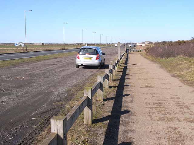
English: Eve Black Coastal Walkway and A193 At this point the Eve Black Walkway through the dunes between Seaton Sluice and Blyth runs alongside the A193 and long linear car park adjacent. The Walkway is followed by National Cycle Network route 1 (Coast and Castles route) and the European Cycle Network North Sea route. Before the recent construction of the Walkway, the cycle route ran alongside the road all the way between the two settlements. |
| Date | |
| Source | From geograph.org.uk |
| Author | Oliver Dixon |
| Attribution (required by the license) | Oliver Dixon / Eve Black Coastal Walkway and A193 / |
| Camera location | | View this and other nearby images on: OpenStreetMap |
|---|
_heading:337.00&language=en)
| Object location | | View this and other nearby images on: OpenStreetMap |
|---|
_heading:337.00&language=en)
Licensing[edit]

|
This image was taken from the Geograph project collection. See this photograph's page on the Geograph website for the photographer's contact details. The copyright on this image is owned by Oliver Dixon and is licensed for reuse under the Creative Commons Attribution-ShareAlike 2.0 license.
|
This file is licensed under the Creative Commons Attribution-Share Alike 2.0 Generic license.
Attribution: Oliver Dixon
- You are free:
- to share – to copy, distribute and transmit the work
- to remix – to adapt the work
- Under the following conditions:
- attribution – You must give appropriate credit, provide a link to the license, and indicate if changes were made. You may do so in any reasonable manner, but not in any way that suggests the licensor endorses you or your use.
- share alike – If you remix, transform, or build upon the material, you must distribute your contributions under the same or compatible license as the original.
File history
Click on a date/time to view the file as it appeared at that time.
| Date/Time | Thumbnail | Dimensions | User | Comment | |
|---|---|---|---|---|---|
| current | 15:08, 5 March 2011 | | 640 × 480 (82 KB) | GeographBot (talk | contribs) | == {{int:filedesc}} == {{Information |description={{en|1=Eve Black Coastal Walkway and A193 At this point the Eve Black Walkway through the dunes between Seaton Sluice and Blyth runs alongside the A193 and long linear car park adjacent. The Walkway is fol |
You cannot overwrite this file.
File usage on Commons
There are no pages that use this file.