File:F-4EJ (87-8408), Nyūtabaru.jpg
Jump to navigation
Jump to search
Size of this preview: 800 × 491 pixels. Other resolutions: 320 × 196 pixels | 640 × 393 pixels | 1,024 × 628 pixels | 1,280 × 785 pixels.
Original file (1,280 × 785 pixels, file size: 364 KB, MIME type: image/jpeg)
Captions
Captions
Add a one-line explanation of what this file represents
Summary[edit]
,_Ny%C5%ABtabaru.jpg&action=edit§ion=1)
| Description | |
| Date | |
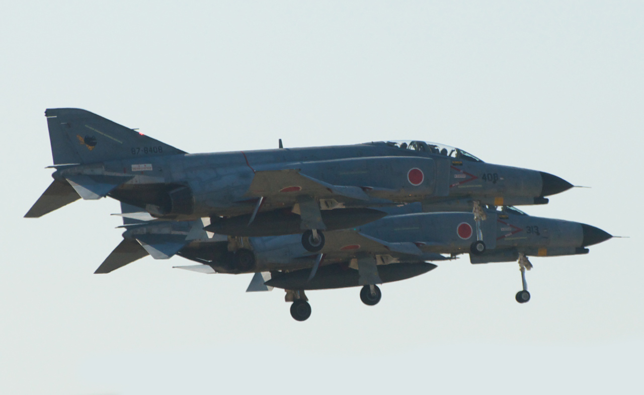
| Source | F-4EJ / Nyuutabaru 2007 |
| Author | Yamaguchi Yoshiaki from Japan |
| Camera location | | View this and other nearby images on: OpenStreetMap |
|---|
,_Ny%C5%ABtabaru.jpg¶ms=032.086766_N_0131.452683_E_globe:Earth_type:camera_source:Flickr_&language=en)
Licensing[edit]
,_Ny%C5%ABtabaru.jpg&action=edit§ion=2)
This file is licensed under the Creative Commons Attribution-Share Alike 2.0 Generic license.
Attribution: Yamaguchi Yoshiaki
- You are free:
- to share – to copy, distribute and transmit the work
- to remix – to adapt the work
- Under the following conditions:
- attribution – You must give appropriate credit, provide a link to the license, and indicate if changes were made. You may do so in any reasonable manner, but not in any way that suggests the licensor endorses you or your use.
- share alike – If you remix, transform, or build upon the material, you must distribute your contributions under the same or compatible license as the original.
| This image, originally posted to Flickr, was reviewed on 14 August 2011 by the administrator or reviewer Hoangquan hientrang, who confirmed that it was available on Flickr under the stated license on that date. |
| This is a retouched picture, which means that it has been digitally altered from its original version. Modifications: erased the object below. Modifications made by トトト.
|
File history
Click on a date/time to view the file as it appeared at that time.
| Date/Time | Thumbnail | Dimensions | User | Comment | |
|---|---|---|---|---|---|
| current | 07:53, 14 August 2011 | | 1,280 × 785 (364 KB) | トトト (talk | contribs) | {{Information |Description={{ja|新田原基地航空際2007より。滑走路上をローパスする2機のF-4EJ。}}{{en|Two F-4EJ kai making low pass a |
You cannot overwrite this file.
File usage on Commons
There are no pages that use this file.
,_Nyūtabaru.jpg&oldid=764423766)