File:Feuchtgebiet Buchenschnäue.jpg
Jump to navigation
Jump to search

Size of this preview: 800 × 600 pixels. Other resolutions: 320 × 240 pixels | 640 × 480 pixels | 1,024 × 768 pixels | 1,280 × 960 pixels | 2,560 × 1,920 pixels | 2,816 × 2,112 pixels.
Original file (2,816 × 2,112 pixels, file size: 3.91 MB, MIME type: image/jpeg)
Captions
Captions
Add a one-line explanation of what this file represents
Summary
[edit]| Description |
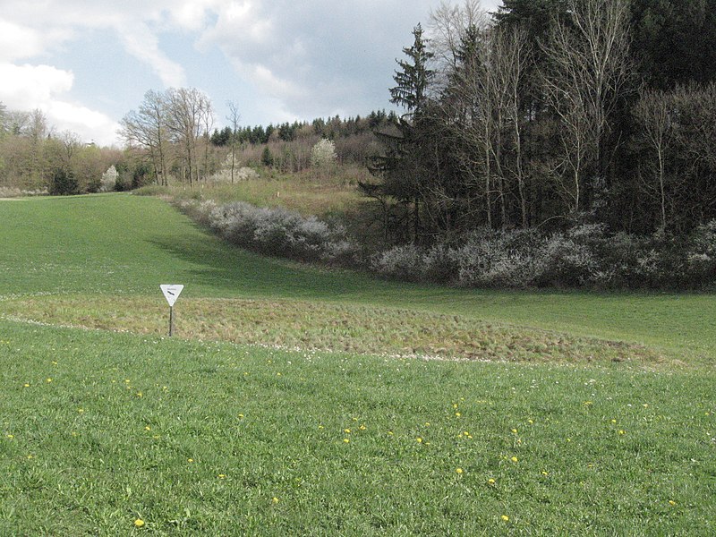
Deutsch: Feuchtgebiet Buchenschnäue etwa 650 m E des Obersontheimer Neuhofs am Fuß des Hangwaldes Buchenschnab (lokaler Name, auf Karten: Buchenschnäue). Es liegt am oberen Ende der Talbildung eines kleinen linken Zuflusses des Nesselbachs im Gipskeuper. Am rechten Bildrand wurde augenscheinlich eine Entwässerungsrinne künstlich geschaffen.. |
||||
| Date | |||||
| Source | Own work | ||||
| Author | Brtlwr2 (talk) | ||||
| references |
|


| Object location | | View this and other nearby images on: OpenStreetMap |
|---|
| Camera location | | View this and other nearby images on: OpenStreetMap |
|---|
Licensing
[edit]
I, the copyright holder of this work, hereby publish it under the following license:
| This file is made available under the Creative Commons CC0 1.0 Universal Public Domain Dedication. | |
| The person who associated a work with this deed has dedicated the work to the public domain by waiving all of their rights to the work worldwide under copyright law, including all related and neighboring rights, to the extent allowed by law. You can copy, modify, distribute and perform the work, even for commercial purposes, all without asking permission.
|
File history
Click on a date/time to view the file as it appeared at that time.
| Date/Time | Thumbnail | Dimensions | User | Comment | |
|---|---|---|---|---|---|
| current | 04:45, 15 April 2011 | | 2,816 × 2,112 (3.91 MB) | Brtlwr2 (talk | contribs) | == Summary == {{Information |Description={{de|Feuchtgebiet Buchenschnäue etwa 650 m E des Obersontheimer Neuhofs am Fuß des Hangwaldes ''Buchenschnab'' (lokaler Name, auf Karten: ''Buchenschnäue''). Es liegt am oberen Ende de |
You cannot overwrite this file.
File usage on Commons
There are no pages that use this file.
File usage on other wikis
The following other wikis use this file:
- Usage on de.wikipedia.org
- Usage on www.wikidata.org