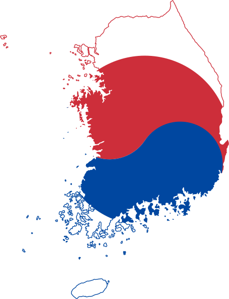
File:Flag-map of South Korea.svg
Jump to navigation
Jump to search

Size of this PNG preview of this SVG file: 458 × 599 pixels. Other resolutions: 183 × 240 pixels | 367 × 480 pixels | 587 × 768 pixels | 782 × 1,024 pixels | 1,565 × 2,048 pixels | 988 × 1,293 pixels.
Original file (SVG file, nominally 988 × 1,293 pixels, file size: 230 KB)
Captions
Captions
Add a one-line explanation of what this file represents
Summary[edit]
| Description |
English: Flag-map of South Korea
Русский: Флаг-карта Южной Кореи |
| Source | Own work using: South Korea location map.svg |
| Author | Darwinek |
This W3C-unspecified vector image was created with Inkscape .
Licensing[edit]
I, the copyright holder of this work, hereby publish it under the following licenses:
This file is licensed under the Creative Commons Attribution-Share Alike 3.0 Unported license.
- You are free:
- to share – to copy, distribute and transmit the work
- to remix – to adapt the work
- Under the following conditions:
- attribution – You must give appropriate credit, provide a link to the license, and indicate if changes were made. You may do so in any reasonable manner, but not in any way that suggests the licensor endorses you or your use.
- share alike – If you remix, transform, or build upon the material, you must distribute your contributions under the same or compatible license as the original.

|
Permission is granted to copy, distribute and/or modify this document under the terms of the GNU Free Documentation License, Version 1.2 or any later version published by the Free Software Foundation; with no Invariant Sections, no Front-Cover Texts, and no Back-Cover Texts. A copy of the license is included in the section entitled GNU Free Documentation License. |
You may select the license of your choice.
File history
Click on a date/time to view the file as it appeared at that time.
| Date/Time | Thumbnail | Dimensions | User | Comment | |
|---|---|---|---|---|---|
| current | 23:47, 3 June 2023 | | 988 × 1,293 (230 KB) | Mdaniels5757 (talk | contribs) | Reverted to version as of 19:36, 19 May 2023 (UTC) rv sock |
| 23:09, 31 May 2023 |  | 2,028 × 1,818 (170 KB) | AntiYann2011 (talk | contribs) | Reverted to version as of 12:21, 18 May 2023 (UTC) | |
| 19:36, 19 May 2023 |  | 988 × 1,293 (230 KB) | Yann (talk | contribs) | Reverted to version as of 16:11, 8 February 2023 (UTC) | |
| 12:21, 18 May 2023 |  | 2,028 × 1,818 (170 KB) | PedroDuqueSantiago (talk | contribs) | Reverted to version as of 17:34, 13 August 2022 (UTC) | |
| 16:11, 8 February 2023 |  | 988 × 1,293 (230 KB) | MixoMiso27 (talk | contribs) | Reverted to version as of 03:19, 4 February 2021 (UTC) | |
| 17:34, 13 August 2022 |  | 2,028 × 1,818 (170 KB) | John emil hernandez (talk | contribs) | remove outline and sizing of the flag | |
| 03:19, 4 February 2021 |  | 988 × 1,293 (230 KB) | SpinnerLaserzthe2nd (talk | contribs) | Colours | |
| 13:31, 12 November 2017 |  | 988 × 1,293 (230 KB) | Garabat15 (talk | contribs) | Reverted to version as of 19:15, 23 January 2012 (UTC) | |
| 15:44, 11 May 2017 |  | 1,268 × 1,308 (430 KB) | Rhythm700 (talk | contribs) | Reverted to version as of 22:54, 31 August 2008 (UTC) | |
| 19:15, 23 January 2012 |  | 988 × 1,293 (230 KB) | Gajmar (talk | contribs) | The border colors |
You cannot overwrite this file.
File usage on Commons
The following 2 pages use this file:
File usage on other wikis
The following other wikis use this file:
- Usage on ar.wikipedia.org
- شبه جزيرة كوريا
- بوسان
- قالب:بذرة جغرافيا كوريا الجنوبية
- دايغو
- تشانغوون
- بيونغتشانغ (محافظة)
- جونجو
- غويانغ
- بوابة:كوريا الجنوبية
- قرية بكتشون التراثية
- تشونان (مدينة)
- تشنتشون (مدينة)
- سونغنام (مدينة)
- أيزو 3166-2:KR
- جزيرة غانغهوا
- هونام
- هوسو (منطقة)
- يونغنام
- قائمة مدن كوريا الجنوبية
- جنتشون (محافظة)
- أكتشون (محافظة)
- بوين (محافظة)
- جنغبيونغ (محافظة)
- غويسان (محافظة)
- أمسونغ (محافظة)
- بوابة:كوريا الجنوبية/عن كوريا الجنوبية/1
- تشونغيانغ (محافظة)
- غمسان (محافظة)
- سوتشون (محافظة)
- يسان (محافظة)
- دونغنام (حي)
- جندو (محافظة)
- محافظة هوينغسونغ
- محافظة يونغوول
- محافظة غوسونغ (غانغوون)
- محافظة يانغيانغ
- محافظة تشلغوك
- محافظة ويسونغ
- محافظة ألجن
- محافظة يتشون
- محافظة تشونغدو
- محافظة سونغجو
- محافظة يونغدوك
- محافظة غوريونغ
- محافظة بونغهوا
- محافظة تشونغسونغ
- محافظة غنوي
- محافظة يونغيانغ
- محافظة هامان
- محافظة غوتشانغ
View more global usage of this file.