File:Footpath and Stream near Washington Caravan and Camping Park - geograph.org.uk - 990979.jpg
Jump to navigation
Jump to search

Size of this preview: 449 × 600 pixels. Other resolutions: 179 × 240 pixels | 479 × 640 pixels.
Original file (479 × 640 pixels, file size: 149 KB, MIME type: image/jpeg)
Captions
Captions
Add a one-line explanation of what this file represents
Summary[edit]
| Description |
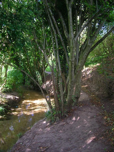
English: Footpath and Stream near Washington Caravan and Camping Park In close proximity here. The fence to the right is the boundary to Rock Common Quarry whilst the stream acts as the boundary to the campsite. The sandy nature of the stream bed gives clues to the local geology here. |
| Date | |
| Source | From geograph.org.uk |
| Author | Simon Carey |
| Attribution (required by the license) | Simon Carey / Footpath and Stream near Washington Caravan and Camping Park / |
| Camera location | | View this and other nearby images on: OpenStreetMap |
|---|
_heading:292.00&language=en)
| Object location | | View this and other nearby images on: OpenStreetMap |
|---|
_heading:292.00&language=en)
Licensing[edit]

|
This image was taken from the Geograph project collection. See this photograph's page on the Geograph website for the photographer's contact details. The copyright on this image is owned by Simon Carey and is licensed for reuse under the Creative Commons Attribution-ShareAlike 2.0 license.
|
This file is licensed under the Creative Commons Attribution-Share Alike 2.0 Generic license.
Attribution: Simon Carey
- You are free:
- to share – to copy, distribute and transmit the work
- to remix – to adapt the work
- Under the following conditions:
- attribution – You must give appropriate credit, provide a link to the license, and indicate if changes were made. You may do so in any reasonable manner, but not in any way that suggests the licensor endorses you or your use.
- share alike – If you remix, transform, or build upon the material, you must distribute your contributions under the same or compatible license as the original.
File history
Click on a date/time to view the file as it appeared at that time.
| Date/Time | Thumbnail | Dimensions | User | Comment | |
|---|---|---|---|---|---|
| current | 04:02, 23 February 2011 | | 479 × 640 (149 KB) | GeographBot (talk | contribs) | == {{int:filedesc}} == {{Information |description={{en|1=Footpath and Stream near Washington Caravan and Camping Park In close proximity here. The fence to the right is the boundary to Rock Common Quarry whilst the stream acts as the boundary to the camps |
You cannot overwrite this file.
File usage on Commons
There are no pages that use this file.