File:Freising von Süden 1772.png
Jump to navigation
Jump to search

Size of this preview: 800 × 382 pixels. Other resolutions: 320 × 153 pixels | 640 × 305 pixels | 1,024 × 489 pixels | 1,280 × 611 pixels | 2,657 × 1,268 pixels.
Original file (2,657 × 1,268 pixels, file size: 8.82 MB, MIME type: image/png)
Captions
Captions
Add a one-line explanation of what this file represents
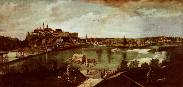
| Johann Baptist Deyrer: Deutsch: Freising von der Isarbrücke aus gesehenEnglish: View over Freising from the bridge over the Isar
( |
|||||||||||||||||
|---|---|---|---|---|---|---|---|---|---|---|---|---|---|---|---|---|---|
| Artist |
|
||||||||||||||||
| Title |
|
||||||||||||||||
| Date | 1772 | ||||||||||||||||
| Dimensions | 83cm x 173cm | ||||||||||||||||
| Source/Photographer | Sigmund Benker/Marianne Baumann-Engels: Freising. 1250 Jahre Geistliche Stadt – Ausstellung im Diözesanmuseum und in den historischen Räumen des Dombergs in Freising, 10. Juni bis 19. November 1989, Wewel Verlag, München 1989. ISBN 3-8790-4162-8 , S. 208 | ||||||||||||||||
| Permission (Reusing this file) |
|
||||||||||||||||
| Camera location | | View this and other nearby images on: OpenStreetMap |
|---|
File history
Click on a date/time to view the file as it appeared at that time.
| Date/Time | Thumbnail | Dimensions | User | Comment | |
|---|---|---|---|---|---|
| current | 21:56, 7 January 2015 | | 2,657 × 1,268 (8.82 MB) | Vuxi (talk | contribs) | contrast |
| 13:10, 20 May 2010 |  | 2,657 × 1,268 (9.61 MB) | Vuxi (talk | contribs) | {{Information |Description={{en|1=historic view of Freising from the south}} {{de|1=Freising mit Domberg und Isarbrücke von Süden 1772}} |Source=Sigmund Benker/Marianne Baumann-En |
You cannot overwrite this file.
File usage on Commons
The following page uses this file:
File usage on other wikis
The following other wikis use this file:
- Usage on de.wikipedia.org
- Usage on fr.wikipedia.org