File:Fuerteventura (Canary Islands) - OSM Mapnik.svg
Jump to navigation
Jump to search

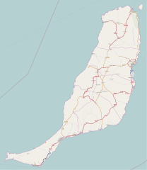
Size of this PNG preview of this SVG file: 520 × 599 pixels. Other resolutions: 208 × 240 pixels | 416 × 480 pixels | 666 × 768 pixels | 889 × 1,024 pixels | 1,777 × 2,048 pixels | 2,298 × 2,648 pixels.
Original file (SVG file, nominally 2,298 × 2,648 pixels, file size: 2.01 MB)
Captions
Captions
Add a one-line explanation of what this file represents
| Description |
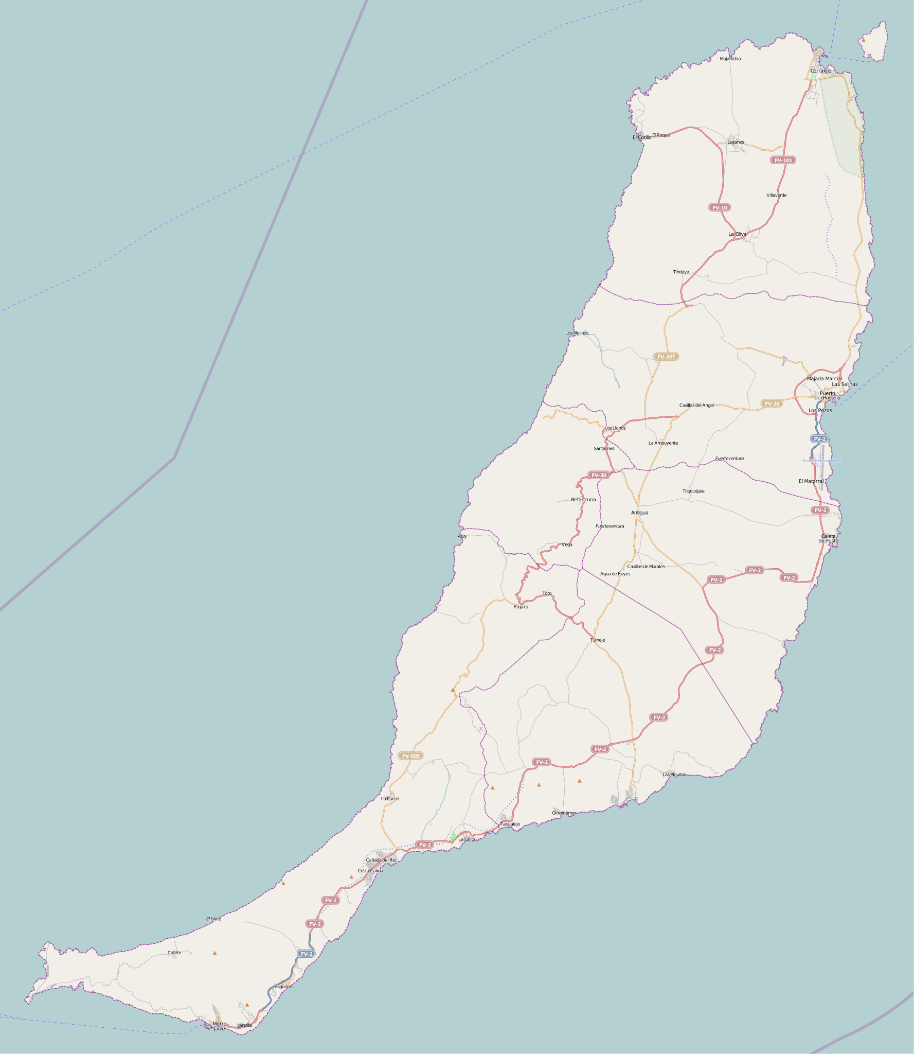
This map was created from OpenStreetMap project data, collected by the community. This map may be incomplete, and may contain errors. Don't rely solely on it for navigation. |
| Date | (see file history) |
| Source | openstreetmap.org |
| Creator |
OpenStreetMap contributors |
| Permission (Reusing this file) |
OpenStreetMap data and maps are licensed under the Creative Commons Attribution-ShareAlike 2.0 license (CC-BY-SA 2.0). This file is licensed under the Creative Commons Attribution-Share Alike 2.0 Generic license.
|
| Georeferencing | If inappropriate please set warp_status = skip to hide. |
File history
Click on a date/time to view the file as it appeared at that time.
| Date/Time | Thumbnail | Dimensions | User | Comment | |
|---|---|---|---|---|---|
| current | 13:49, 25 November 2010 | | 2,298 × 2,648 (2.01 MB) | Muro de Aguas (talk | contribs) | updating |
| 14:25, 2 July 2010 |  | 2,298 × 2,648 (1.9 MB) | Muro de Aguas (talk | contribs) | updating | |
| 17:10, 16 April 2010 |  | 2,298 × 2,648 (1.89 MB) | Muro de Aguas (talk | contribs) | updating | |
| 17:18, 27 February 2010 |  | 2,298 × 2,648 (1.89 MB) | Muro de Aguas (talk | contribs) | {{OpenStreetMap|name=Fuerteventura|source=http://www.openstreetmap.org/?lat=28.4165&lon=-14.1515&zoom=10&layers=B000FTFTT}} Category:OpenStreetMap maps of the Canary Islands Category:Maps of Fuerteventura Category:Maps of the Canary Islands |
You cannot overwrite this file.
File usage on Commons
The following page uses this file:
File usage on other wikis
The following other wikis use this file:
- Usage on ar.wikipedia.org
- Usage on ast.wikipedia.org
- Usage on en.wikipedia.org
- Puerto del Rosario
- Fuerteventura Airport
- Tostón Lighthouse
- Punta La Entallada Lighthouse
- Morro Jable Lighthouse
- Punta Jandía Lighthouse
- Punta Martiño Lighthouse
- Module:Location map/data/Spain Fuerteventura
- Module:Location map/data/Spain Fuerteventura/doc
- Puerto del Rosario Lighthouse
- Template:Lighthouses of the Canary Islands map
- Usage on es.wikipedia.org
- Playa del Matorral
- Faro de Morro Jable
- Faro de Punta La Entallada
- Hornos de cal de la Guirra
- Montaña de Tindaya
- Ajuy
- Playa de la Goleta (Corralejo)
- Cofete
- Castillo de El Cotillo
- El Cotillo
- Faro del Puerto del Rosario
- Faro de Punta Jandía
- Faro Tostón
- Faro de Punta Martiño
- Castillo de Fuste
- Lajares (La Oliva)
- Plantilla:Mapa de localización de Fuerteventura
- Casillas del Ángel
- Tetir
- El Matorral (Fuerteventura)
- Tarajalejo
- Usage on fr.wikipedia.org
- Tuineje
- Pájara
- La Oliva
- Antigua (Fuerteventura)
- Puerto del Rosario
- Betancuria
- Corralejo
- Caleta de Fuste
- Morro Jable
- Péninsule de Jandía
- Modèle:Géolocalisation/Fuerteventura
- Wikipédia:Atelier graphique/Cartes/Archives/juin 2015
- Wikipédia:Atelier modèle de géolocalisation/Archives/2015
- Parc naturel de Corralejo
View more global usage of this file.
_-_OSM_Mapnik.svg)
_-_OSM_Mapnik.svg&oldid=519802475)