File:GMR-sao lourenco de sande mapa.png
Jump to navigation
Jump to search
Size of this preview: 557 × 599 pixels. Other resolutions: 223 × 240 pixels | 446 × 480 pixels | 714 × 768 pixels | 952 × 1,024 pixels | 1,389 × 1,494 pixels.
Original file (1,389 × 1,494 pixels, file size: 143 KB, MIME type: image/png)
Captions
Captions
Add a one-line explanation of what this file represents
| Description |
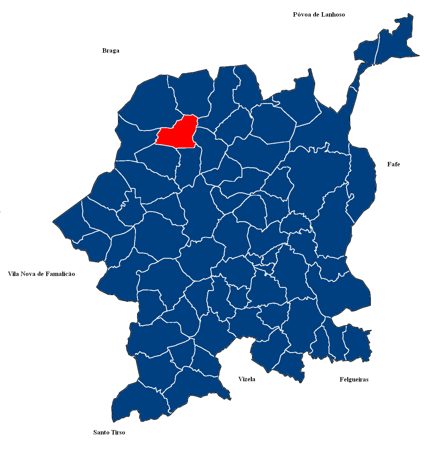
Português: Mapa da Freguesia de São Lourenço de Sande, Guimarães.
English: Map of Parish of São Lourenço de Sande, Guimarães, Portugal. |
| Date | 15 of Dezember |
| Source | Own work |
| Author | Tm |
| Permission (Reusing this file) |
I, the copyright holder of this work, hereby publish it under the following license: This file is licensed under the Creative Commons Attribution-Share Alike 3.0 Unported license.
|
File history
Click on a date/time to view the file as it appeared at that time.
| Date/Time | Thumbnail | Dimensions | User | Comment | |
|---|---|---|---|---|---|
| current | 02:46, 15 December 2008 | | 1,389 × 1,494 (143 KB) | Tm (talk | contribs) | {{Information |Description={{pt|1=Mapa da Freguesia de Santo Estêvão de Briteiros, Guimarães.}} {{en|1=Map of Parish of Santo Estêvão de Briteiros, Guimarães, Portugal.}} |Source=Own work by uploader |Date=15 of Dezember |Author=Tm |Perm |
You cannot overwrite this file.
File usage on Commons
The following page uses this file:
File usage on other wikis
The following other wikis use this file:
- Usage on es.wikipedia.org
- Usage on tt.wikipedia.org
- Usage on www.wikidata.org