File:GNIEZNO mapa 1911.jpg
Jump to navigation
Jump to search

Size of this preview: 764 × 599 pixels. Other resolutions: 306 × 240 pixels | 612 × 480 pixels | 979 × 768 pixels | 1,280 × 1,004 pixels | 2,560 × 2,008 pixels | 7,443 × 5,839 pixels.
Original file (7,443 × 5,839 pixels, file size: 9.79 MB, MIME type: image/jpeg)
Captions
Captions
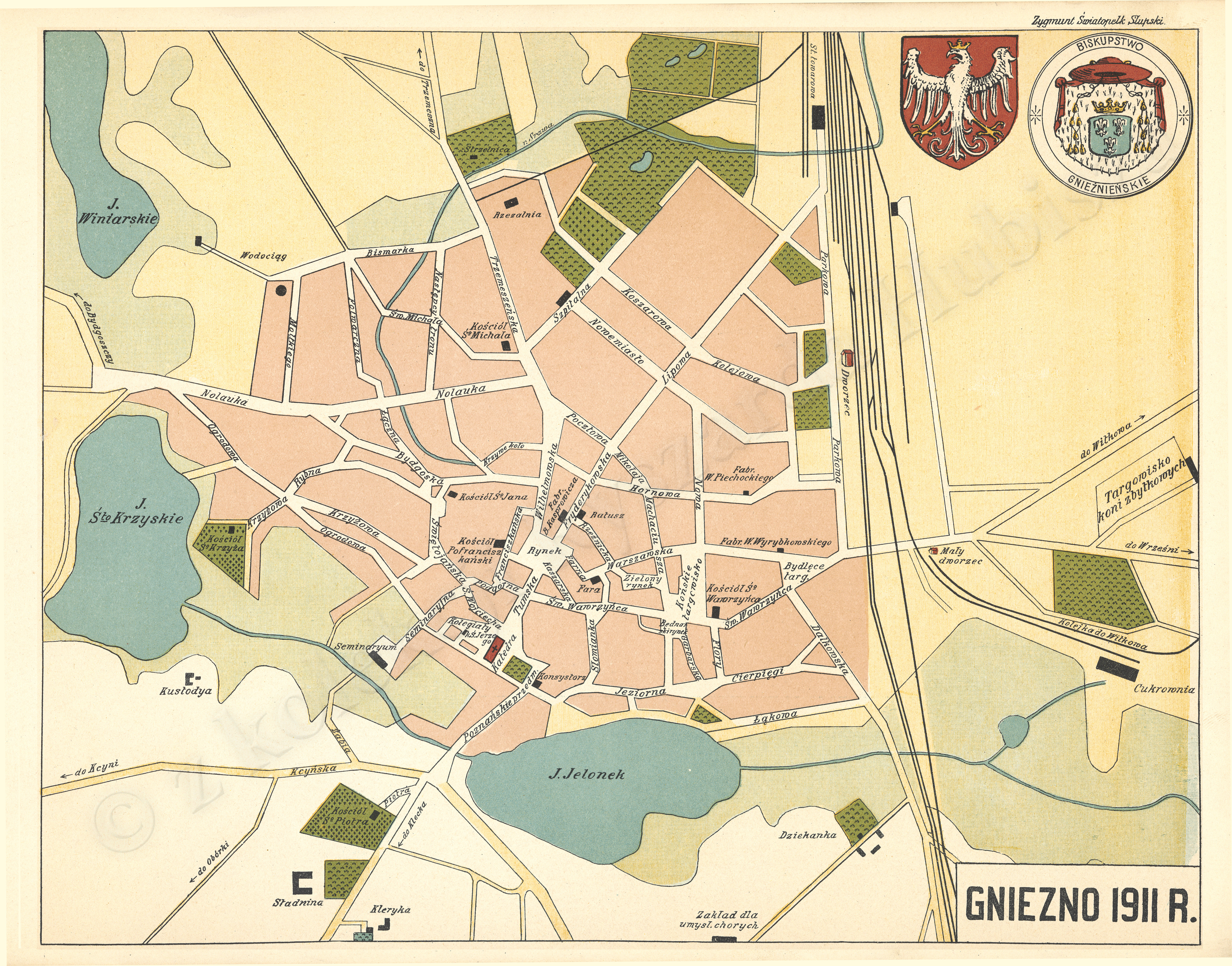
Map of gniezno
Summary[edit]
| Description |
English: Map of gniezno |
| Date | |
| Source | http://maps.mapywig.org/m/City_plans/Central_Europe/GNIEZNO_1911_R.jpg |
| Author | ZYGMUNT ŚWIĘTOPEŁK SŁUPSKI: ATLAS ZIEM POLSKICH Tom I Część I WIELKIE KSIĘSTWO POZNAŃSKIE |
Licensing[edit]
|
This work is in the public domain in its country of origin and other countries and areas where the copyright term is the author's life plus 70 years or fewer. This work is in the public domain in the United States because it was published (or registered with the U.S. Copyright Office) before January 1, 1929. | |
| This file has been identified as being free of known restrictions under copyright law, including all related and neighboring rights. | |
File history
Click on a date/time to view the file as it appeared at that time.
| Date/Time | Thumbnail | Dimensions | User | Comment | |
|---|---|---|---|---|---|
| current | 13:52, 1 September 2023 | | 7,443 × 5,839 (9.79 MB) | Jan1743 (talk | contribs) | Uploaded a work by ZYGMUNT ŚWIĘTOPEŁK SŁUPSKI: ATLAS ZIEM POLSKICH Tom I Część I WIELKIE KSIĘSTWO POZNAŃSKIE from http://maps.mapywig.org/m/City_plans/Central_Europe/GNIEZNO_1911_R.jpg with UploadWizard |
You cannot overwrite this file.
File usage on Commons
There are no pages that use this file.
File usage on other wikis
The following other wikis use this file:
- Usage on pl.wikipedia.org