File:Gamla stan husnummer 1729.jpg
Jump to navigation
Jump to search
Size of this preview: 800 × 576 pixels. Other resolutions: 320 × 230 pixels | 640 × 461 pixels | 1,024 × 737 pixels | 1,280 × 921 pixels | 1,678 × 1,208 pixels.
Original file (1,678 × 1,208 pixels, file size: 558 KB, MIME type: image/jpeg)
Captions
Captions
Add a one-line explanation of what this file represents
Summary[edit]
| Description |
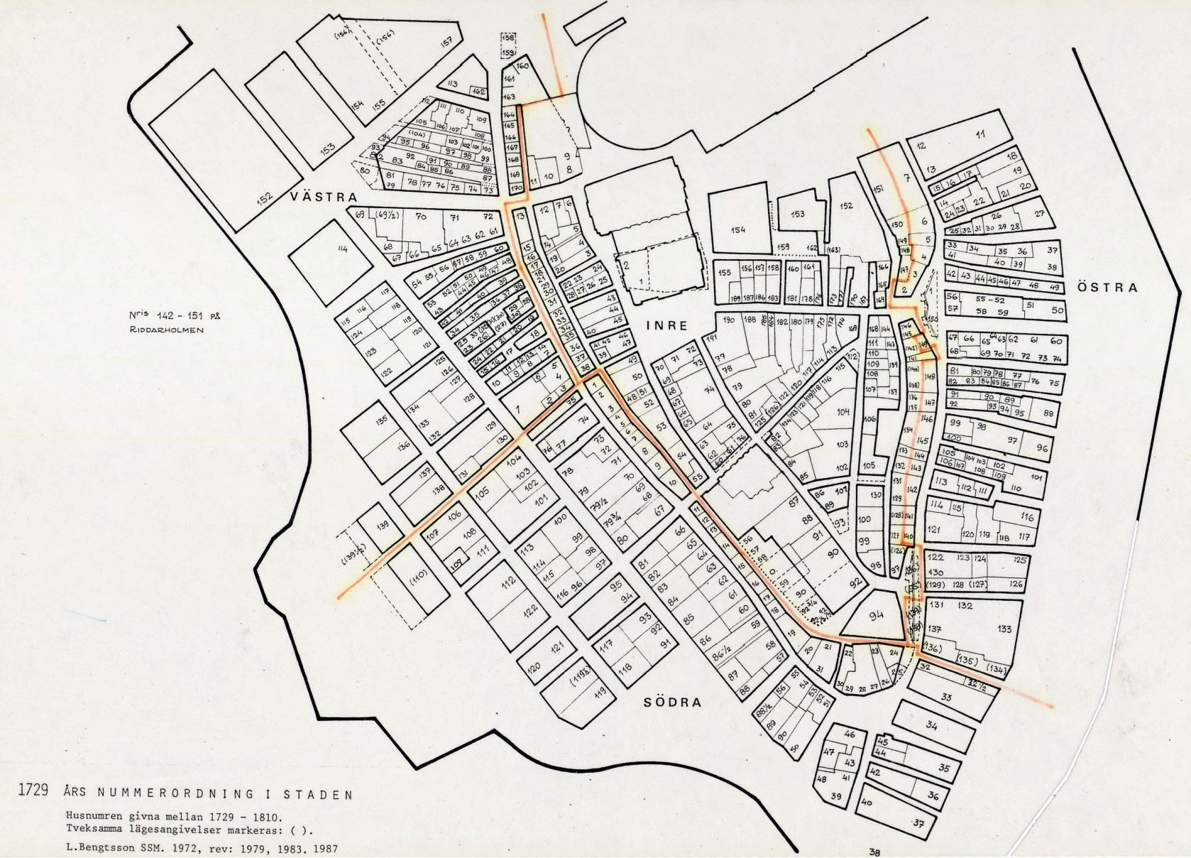
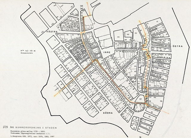
Svenska: Kartan visar kvarter i Gamla stan och är en sammanställning av de tomtnummer som användes mellan 1729 - 1810. Staden är uppdelad i distrikt (inre, södra, västra och östra). Därefter är husen inom varje distrikt löpande numrerade, gata upp och ner. |
| Date | |
| Source | http://www.stockholmskallan.se/Soksida/Post/?nid=27670 |
| Author | Unknown author |
Licensing[edit]
This file is licensed under the Creative Commons Attribution-Share Alike 3.0 Unported license.
- You are free:
- to share – to copy, distribute and transmit the work
- to remix – to adapt the work
- Under the following conditions:
- attribution – You must give appropriate credit, provide a link to the license, and indicate if changes were made. You may do so in any reasonable manner, but not in any way that suggests the licensor endorses you or your use.
- share alike – If you remix, transform, or build upon the material, you must distribute your contributions under the same or compatible license as the original.
File history
Click on a date/time to view the file as it appeared at that time.
| Date/Time | Thumbnail | Dimensions | User | Comment | |
|---|---|---|---|---|---|
| current | 16:11, 26 February 2014 | | 1,678 × 1,208 (558 KB) | Holger.Ellgaard (talk | contribs) | User created page with UploadWizard |
You cannot overwrite this file.
File usage on Commons
There are no pages that use this file.
File usage on other wikis
The following other wikis use this file:
- Usage on no.wikipedia.org
- Usage on sv.wikipedia.org