File:Geoloc Haute Saone Relief.svg
Jump to navigation
Jump to search

Size of this PNG preview of this SVG file: 772 × 600 pixels. Other resolutions: 309 × 240 pixels | 618 × 480 pixels | 989 × 768 pixels | 1,280 × 994 pixels | 2,560 × 1,988 pixels | 1,164 × 904 pixels.
Original file (SVG file, nominally 1,164 × 904 pixels, file size: 2.28 MB)
Captions
Captions
Add a one-line explanation of what this file represents
Summary[edit]
| Description |
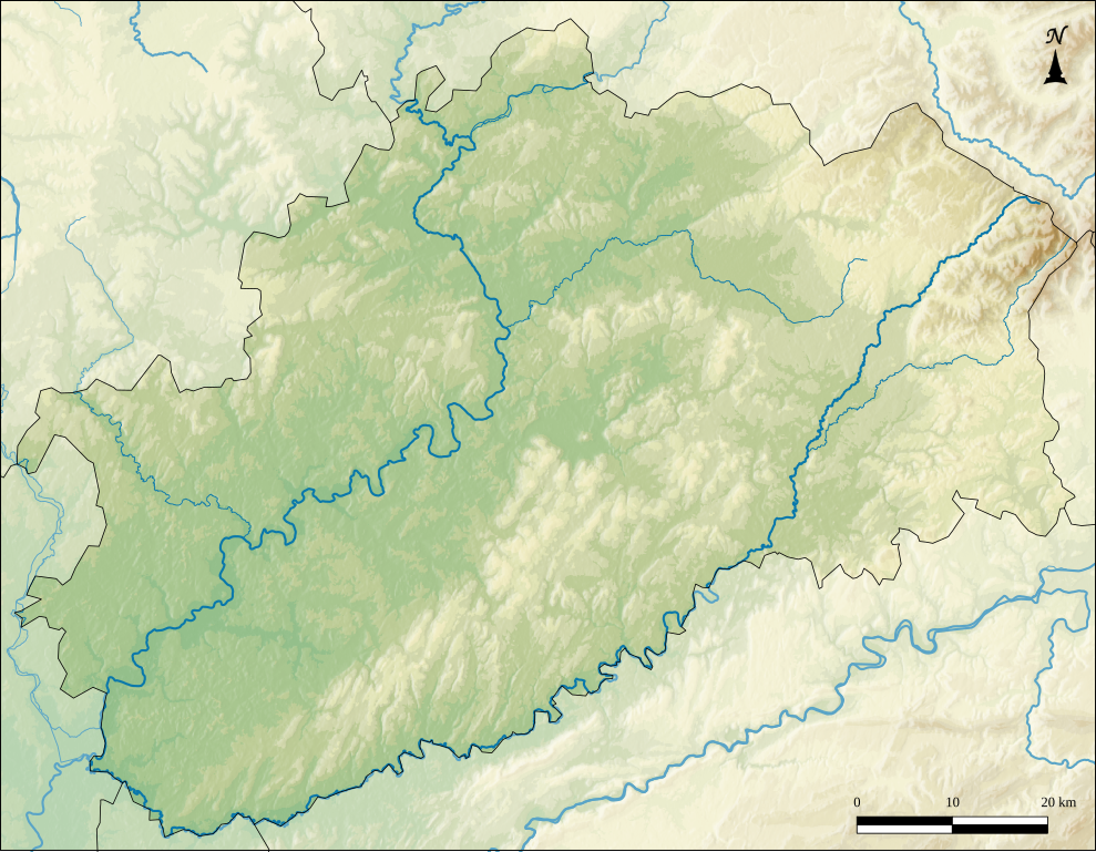
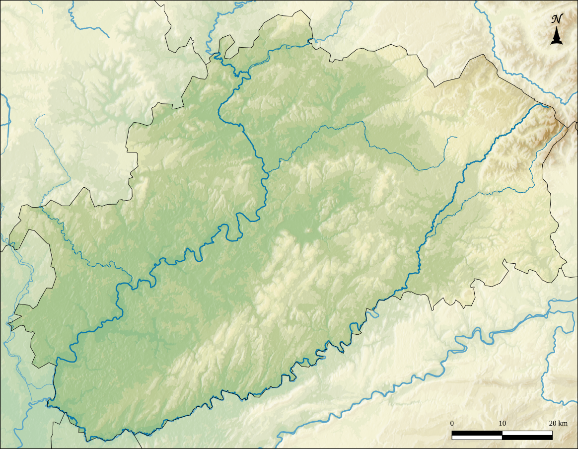
Français : Carte de géolocalisation de la Haute-Saône - Relief Limites géographiques de la carte :
|
| Date | |
| Source |
Own work Relief : SRTM3v2 Hydrographie : BD Carthage® |
| Author | Boldair |
Licensing[edit]
I, the copyright holder of this work, hereby publish it under the following license:
This file is licensed under the Creative Commons Attribution-Share Alike 4.0 International license.
- You are free:
- to share – to copy, distribute and transmit the work
- to remix – to adapt the work
- Under the following conditions:
- attribution – You must give appropriate credit, provide a link to the license, and indicate if changes were made. You may do so in any reasonable manner, but not in any way that suggests the licensor endorses you or your use.
- share alike – If you remix, transform, or build upon the material, you must distribute your contributions under the same or compatible license as the original.
File history
Click on a date/time to view the file as it appeared at that time.
| Date/Time | Thumbnail | Dimensions | User | Comment | |
|---|---|---|---|---|---|
| current | 22:08, 14 January 2015 | | 1,164 × 904 (2.28 MB) | Boldair (talk | contribs) | User created page with UploadWizard |
You cannot overwrite this file.
File usage on Commons
The following page uses this file:
File usage on other wikis
The following other wikis use this file:
- Usage on eo.wikipedia.org
- Athesans-Étroitefontaine
- La Corbière
- Gray (Haute-Saône)
- Lure
- Framont
- Ronchamp
- Ŝablono:Situo sur mapo Francio Haute-Saône
- Luxeuil-les-Bains
- Aillevillers-et-Lyaumont
- Corbenay
- Champagney (Haute-Saône)
- Héricourt (Haute-Saône)
- Amance (Haute-Saône)
- Faverney
- Arc-lès-Gray
- Fougerolles-Saint-Valbert
- Vaivre-et-Montoille
- Jussey
- Autet
- Autrey-lès-Gray
- Luze
- Montagney
- Servigney
- Aboncourt-Gesincourt
- Achey
- Aisey-et-Richecourt
- Amoncourt
- Angirey
- Argillières
- Augicourt
- Ancier
- Apremont (Haute-Saône)
- Breurey-lès-Faverney
- Andelarre
- Andelarrot
- Arbecey
- Aroz
- Arsans
- Attricourt
- Authoison
- Aulx-lès-Cromary
- Autoreille
- Autrey-lès-Cerre
- Auvet-et-la-Chapelotte
- Auxon (Haute-Saône)
- Barges (Haute-Saône)
- Beaujeu-Saint-Vallier-Pierrejux-et-Quitteur
- Betaucourt
- Bonnevent-Velloreille
- Bouhans-et-Feurg
View more global usage of this file.