File:Georgia Tbilisi relief location map.svg
Jump to navigation
Jump to search

Size of this PNG preview of this SVG file: 750 × 556 pixels. Other resolutions: 320 × 237 pixels | 640 × 474 pixels | 1,024 × 759 pixels | 1,280 × 949 pixels | 2,560 × 1,898 pixels.
Original file (SVG file, nominally 750 × 556 pixels, file size: 889 KB)
Captions
Captions
Add a one-line explanation of what this file represents
Summary[edit]
| Description |
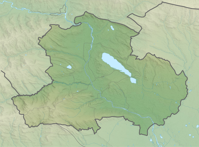
English: Tbilisi relief location map
ქართული: თბილისის გეორეფერენსირებული რელიეფური რუკა
|
||
| Date | |||
| Source | Own work | ||
| Author | Giorgi Balakhadze | ||
| SVG | W3C-validity not checked. |


Licensing[edit]
Giorgi Balakhadze at Wikimedia Foundation, the copyright holder of this work, hereby publishes it under the following license:
This file is licensed under the Creative Commons Attribution-Share Alike 4.0 International license.
Attribution: Giorgi Balakhadze at Wikimedia Foundation
- You are free:
- to share – to copy, distribute and transmit the work
- to remix – to adapt the work
- Under the following conditions:
- attribution – You must give appropriate credit, provide a link to the license, and indicate if changes were made. You may do so in any reasonable manner, but not in any way that suggests the licensor endorses you or your use.
- share alike – If you remix, transform, or build upon the material, you must distribute your contributions under the same or compatible license as the original.
File history
Click on a date/time to view the file as it appeared at that time.
| Date/Time | Thumbnail | Dimensions | User | Comment | |
|---|---|---|---|---|---|
| current | 10:41, 22 March 2018 | | 750 × 556 (889 KB) | Giorgi Balakhadze (talk | contribs) | v.0.1 |
| 15:05, 5 March 2018 |  | 750 × 556 (889 KB) | Giorgi Balakhadze (talk | contribs) | User created page with UploadWizard |
You cannot overwrite this file.
File usage on Commons
The following 28 pages use this file:
- User:Giorgi Balakhadze/Lab
- File:Georgia Abkhazia relief location map.svg
- File:Georgia Adjara location map.svg
- File:Georgia Adjara location relief map.svg
- File:Georgia Autonomous Republic of Abkhazia Location map.svg
- File:Georgia Guria location map.svg
- File:Georgia Guria relief location map.svg
- File:Georgia Imereti location map.svg
- File:Georgia Imereti relief location map.svg
- File:Georgia Kakheti location map.svg
- File:Georgia Kakheti relief location map.svg
- File:Georgia Kvemo Kartli location map.svg
- File:Georgia Kvemo Kartli relief location map.svg
- File:Georgia Mtskheta-Mtianeti location map.svg
- File:Georgia Mtskheta-Mtianeti relief location map.svg
- File:Georgia Racha-Lechkhumi and Kvemo Svaneti location map.svg
- File:Georgia Racha-Lechkhumi and Kvemo Svaneti relief location map.svg
- File:Georgia Samegrelo-Zemo Svaneti location map.svg
- File:Georgia Samegrelo-Zemo Svaneti relief location map.svg
- File:Georgia Samtskhe-Javakheti location map.svg
- File:Georgia Shida Kartli location map.svg
- File:Georgia Tbilisi location map.svg
- File:Georgia Tbilisi relief location map.svg
- File:Georgia location map2.svg
- File:Relief Map of Georgia.svg
- File:Relief Map of Samtskhe-Javakheti.svg
- File:Relief Map of Shida Kartli.svg
- Template:Georgia's location maps
File usage on other wikis
The following other wikis use this file:
- Usage on az.wikipedia.org
- Usage on bn.wikipedia.org
- Usage on ce.wikipedia.org
- Usage on de.wikipedia.org
- Usage on en.wikipedia.org
- Usage on eo.wikipedia.org
- Usage on es.wikipedia.org
- Usage on frr.wikipedia.org
- Usage on fr.wikipedia.org
- Usage on hy.wikipedia.org
- Usage on inh.wikipedia.org
- Usage on ja.wikipedia.org
- Usage on ka.wikipedia.org
View more global usage of this file.