File:Gifu géolocalisation.svg
Jump to navigation
Jump to search

Size of this PNG preview of this SVG file: 498 × 600 pixels. Other resolutions: 199 × 240 pixels | 398 × 480 pixels | 638 × 768 pixels | 850 × 1,024 pixels | 1,700 × 2,048 pixels | 744 × 896 pixels.
Original file (SVG file, nominally 744 × 896 pixels, file size: 2.77 MB)
Captions
Captions
Add a one-line explanation of what this file represents
Summary[edit]
| Description |
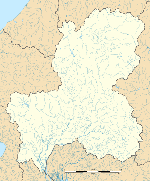
Français : Carte administrative vierge de la préfecture de Gifu.
English: Blank administrative map of the Gifu prefecture. |
| Date | |
| Source | Own work |
| Author | Flappiefh |
Licensing[edit]
I, the copyright holder of this work, hereby publish it under the following license:
This file is licensed under the Creative Commons Attribution-Share Alike 4.0 International license.
- You are free:
- to share – to copy, distribute and transmit the work
- to remix – to adapt the work
- Under the following conditions:
- attribution – You must give appropriate credit, provide a link to the license, and indicate if changes were made. You may do so in any reasonable manner, but not in any way that suggests the licensor endorses you or your use.
- share alike – If you remix, transform, or build upon the material, you must distribute your contributions under the same or compatible license as the original.
File history
Click on a date/time to view the file as it appeared at that time.
| Date/Time | Thumbnail | Dimensions | User | Comment | |
|---|---|---|---|---|---|
| current | 20:28, 9 November 2016 | | 744 × 896 (2.77 MB) | Flappiefh (talk | contribs) |
You cannot overwrite this file.
File usage on Commons
The following page uses this file:
File usage on other wikis
The following other wikis use this file:
- Usage on de.wikipedia.org
- Usage on en.wikipedia.org
- Gifu-Hashima Station
- Magome-juku
- Gifu Station
- Kanō-juku
- Gōdo-juku
- Unuma-juku
- Ōta-juku
- Ochiai-juku
- Nakatsugawa-juku
- Mieji-juku
- Ōi-juku
- Ōkute-juku
- Tarui-juku
- Hosokute-juku
- Akasaka-juku (Nakasendō)
- Sekigahara-juku
- Fushimi-juku (Nakasendō)
- Mitake-juku
- Imasu-juku
- Nishi-Gifu Station
- Sakashita Station
- Ochiaigawa Station
- Nakatsugawa Station
- Nagamori Station
- Nishi Kani Station
- Kanigawa Station
- Nihonrain-imawatari Station
- Shin Kani Station
- Akechi Station (Kani)
- Gōdo Station (Gifu)
- Mitakeguchi Station
- Mitake Station (Gifu)
- Shin Kanō Station
- Shin Naka Station
- Shiminkōen-mae Station
- Kakamigahara-Shiyakusho-mae Station
- Rokken Station (Gifu)
- Mikakino Station
- Nijikken Station
- Meiden Kakamigahara Station
- Ogase Station
- Haba Station (Gifu)
- Unumajuku Station
- Mino-Sakamoto Station
- Ena Station
- Takenami Station
View more global usage of this file.