File:Grésignac Tertre 2012.jpg
Jump to navigation
Jump to search

Size of this preview: 800 × 533 pixels. Other resolutions: 320 × 213 pixels | 640 × 427 pixels | 1,024 × 683 pixels | 1,280 × 853 pixels | 2,560 × 1,707 pixels | 3,936 × 2,624 pixels.
Original file (3,936 × 2,624 pixels, file size: 1.27 MB, MIME type: image/jpeg)
Captions
Captions
Add a one-line explanation of what this file represents
Summary[edit]
| Description |
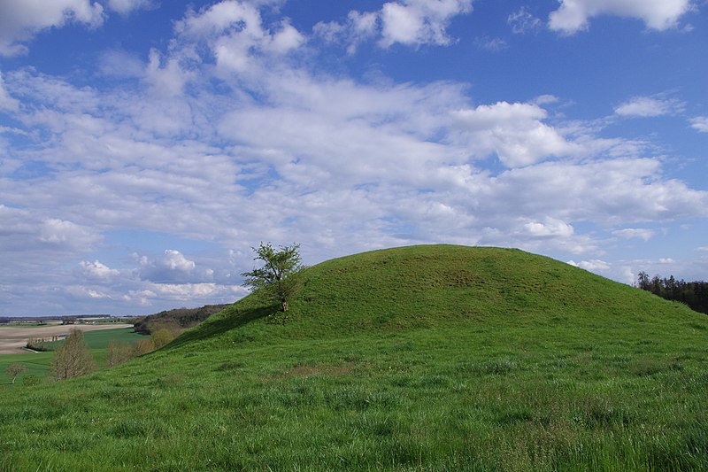
Français : Tertre situé à l'extrémité sud-est de la motte castrale (XIIIe siècle) et où s'élevait vraisemblablement une tour de guet à l'époque des premiers châteaux. Grésignac, Dordogne, France.
English: Mound situated at the SE end of the motte-and-bailey castle (13th century). Grésignac, Dordogne, France.
|
|
| Date | ||
| Source | Own work | |
| Author | ||
| Attribution (required by the license) | Photo: JLPC / Wikimedia Commons / | |
| Permission (Reusing this file) |
I, the copyright holder of this work, hereby publish it under the following license: This file is licensed under the Creative Commons Attribution-Share Alike 3.0 Unported license.
|
| Camera location | | View this and other nearby images on: OpenStreetMap |
|---|
File history
Click on a date/time to view the file as it appeared at that time.
| Date/Time | Thumbnail | Dimensions | User | Comment | |
|---|---|---|---|---|---|
| current | 19:29, 14 April 2012 | | 3,936 × 2,624 (1.27 MB) | JLPC (talk | contribs) |
You cannot overwrite this file.
File usage on Commons
The following page uses this file:
File usage on other wikis
The following other wikis use this file: