File:Halton Shields - geograph.org.uk - 1026743.jpg
Jump to navigation
Jump to search
No higher resolution available.
Halton_Shields_-_geograph.org.uk_-_1026743.jpg (640 × 480 pixels, file size: 99 KB, MIME type: image/jpeg)
Captions
Captions
Add a one-line explanation of what this file represents
Summary[edit]
| Description |
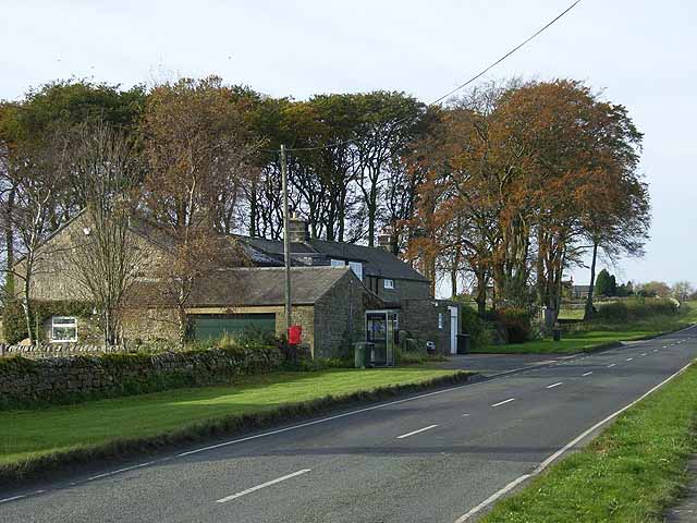
English: Halton Shields Hamlet on the Military Road, B6318 built on the site of Roman Milecastle 20, one of the fortifications along the line of Hadrian's Wall
Hadrians_Wall. Hadrians Wall National Trail which runs 135 km from Bowness-on-Solway to Wallsend http://www.nationaltrail.co.uk/hadrianswall/ follows the footway on the opposite side of the road at this point. |
| Date | |
| Source | From geograph.org.uk |
| Author | Oliver Dixon |
| Attribution (required by the license) | Oliver Dixon / Halton Shields / |
| Camera location | | View this and other nearby images on: OpenStreetMap |
|---|
_heading:247.00&language=en)
| Object location | | View this and other nearby images on: OpenStreetMap |
|---|
_heading:247.00&language=en)
Licensing[edit]

|
This image was taken from the Geograph project collection. See this photograph's page on the Geograph website for the photographer's contact details. The copyright on this image is owned by Oliver Dixon and is licensed for reuse under the Creative Commons Attribution-ShareAlike 2.0 license.
|
This file is licensed under the Creative Commons Attribution-Share Alike 2.0 Generic license.
Attribution: Oliver Dixon
- You are free:
- to share – to copy, distribute and transmit the work
- to remix – to adapt the work
- Under the following conditions:
- attribution – You must give appropriate credit, provide a link to the license, and indicate if changes were made. You may do so in any reasonable manner, but not in any way that suggests the licensor endorses you or your use.
- share alike – If you remix, transform, or build upon the material, you must distribute your contributions under the same or compatible license as the original.
File history
Click on a date/time to view the file as it appeared at that time.
| Date/Time | Thumbnail | Dimensions | User | Comment | |
|---|---|---|---|---|---|
| current | 14:22, 23 February 2011 | | 640 × 480 (99 KB) | GeographBot (talk | contribs) | == {{int:filedesc}} == {{Information |description={{en|1=Halton Shields Hamlet on the Military Road, B6318 built on the site of Roman Milecastle 20, one of the fortifications along the line of Hadrian's Wall http://en.wikipedia.org/wiki/Hadrians_Wall. H |
You cannot overwrite this file.
File usage on Commons
There are no pages that use this file.
File usage on other wikis
The following other wikis use this file:
- Usage on pl.wikipedia.org
- Usage on sv.wikipedia.org