File:Helsinki location map.png
Jump to navigation
Jump to search
No higher resolution available.
Helsinki_location_map.png (390 × 310 pixels, file size: 179 KB, MIME type: image/png)
Captions
Captions
Add a one-line explanation of what this file represents
Summary[edit]
| Description |
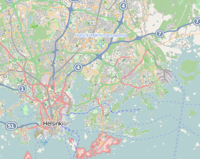
English: OpenStreetMap location map of Helsinki, Finland.
|
| Date | |
| Source | OpenStreetMap |
| Author | OpenStreetMap contributors |
Licensing[edit]
| This work contains information from OpenStreetMap, which is made available under the Open Database License (ODbL).
The ODbL does not require any particular license for maps produced from ODbL data. Prior to 1 August 2020, map tiles produced by the OpenStreetMap Foundation were licensed under the CC-BY-SA-2.0 license. Maps produced by other people may be subject to other licences. |
File history
Click on a date/time to view the file as it appeared at that time.
| Date/Time | Thumbnail | Dimensions | User | Comment | |
|---|---|---|---|---|---|
| current | 14:52, 4 November 2012 | | 390 × 310 (179 KB) | Powerek38 (talk | contribs) | User created page with UploadWizard |
You cannot overwrite this file.
File usage on Commons
There are no pages that use this file.
File usage on other wikis
The following other wikis use this file:
- Usage on hu.wikipedia.org
- Usage on ja.wikipedia.org
- Usage on pl.wikipedia.org
- Suomenlinna
- Helsinki (stacja kolejowa)
- Wielka Synagoga w Helsinkach
- Helsinki Halli
- Fińskie Muzeum Historii Naturalnej
- Pasila (stacja kolejowa)
- Huopalahti (stacja kolejowa)
- Ilmala
- Sobór Zaśnięcia Matki Bożej w Helsinkach
- Katedra w Helsinkach
- Diecezja helsińska
- Stadion Olimpijski w Helsinkach
- Katedra św. Henryka w Helsinkach
- Port lotniczy Helsinki-Malmi
- Posti Group
- Käpylä (stacja kolejowa)
- Cerkiew św. Mikołaja w Helsinkach
- Ateneum (Helsinki)
- Kościół Temppeliaukio
- Kościół w Kallio
- Kościół św. Jana w Helsinkach
- Stary Kościół w Helsinkach
- Kulosaari
- Park centralny w Helsinkach
- Kościół Mikaela Agricoli
- Cerkiew Trójcy Świętej w Helsinkach
- Helsingin yliopisto
- Rautatientori
- Kamppi
- Ruoholahti
View more global usage of this file.