File:Himachal Pradesh locator map2.svg
Jump to navigation
Jump to search

Size of this PNG preview of this SVG file: 589 × 599 pixels. Other resolutions: 236 × 240 pixels | 472 × 480 pixels | 755 × 768 pixels | 1,007 × 1,024 pixels | 2,013 × 2,048 pixels | 1,039 × 1,057 pixels.
Original file (SVG file, nominally 1,039 × 1,057 pixels, file size: 945 KB)
Captions
Captions
Add a one-line explanation of what this file represents
Summary[edit]
| Description |
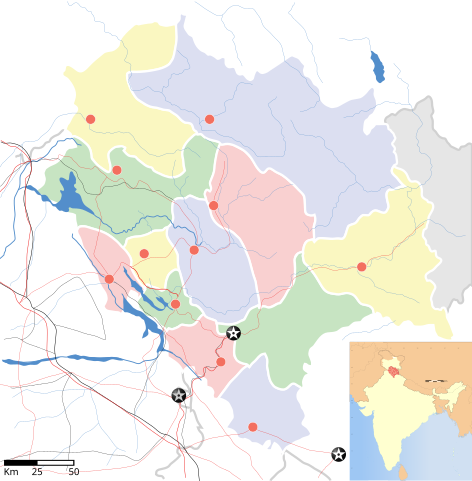
English: Map of w:Himachal Pradesh with road and rail lines. Equirectangular projection. Geographic limits of the map:
|
| Date | |
| Source |
This file was derived from: International Borders: University of Texas map library - India Political map 2001 |
| Author |


Licensing[edit]
This file is licensed under the Creative Commons Attribution-Share Alike 3.0 Unported license.
- You are free:
- to share – to copy, distribute and transmit the work
- to remix – to adapt the work
- Under the following conditions:
- attribution – You must give appropriate credit, provide a link to the license, and indicate if changes were made. You may do so in any reasonable manner, but not in any way that suggests the licensor endorses you or your use.
- share alike – If you remix, transform, or build upon the material, you must distribute your contributions under the same or compatible license as the original.
File history
Click on a date/time to view the file as it appeared at that time.
| Date/Time | Thumbnail | Dimensions | User | Comment | |
|---|---|---|---|---|---|
| current | 03:37, 6 August 2016 | | 1,039 × 1,057 (945 KB) | Stegop (talk | contribs) | {{Information |Description ={{en|1=Map of w:Himachal Pradesh with road and rail lines. Equirectangular projection. Geographic limits of the map: top=33.31, bottom=30.16, left=75.39, right=79.05}} |Source =[[:File:Himachal Pradesh locato... |
You cannot overwrite this file.
File usage on Commons
There are no pages that use this file.
File usage on other wikis
The following other wikis use this file: