File:Historical map of the Rus, 1054-1240.gif
Jump to navigation
Jump to search

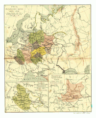
Size of this preview: 489 × 600 pixels. Other resolutions: 196 × 240 pixels | 391 × 480 pixels | 626 × 768 pixels | 835 × 1,024 pixels | 1,800 × 2,207 pixels.
Original file (1,800 × 2,207 pixels, file size: 1.77 MB, MIME type: image/gif)
Captions
Captions
Add a one-line explanation of what this file represents
Summary[edit]
| Description |
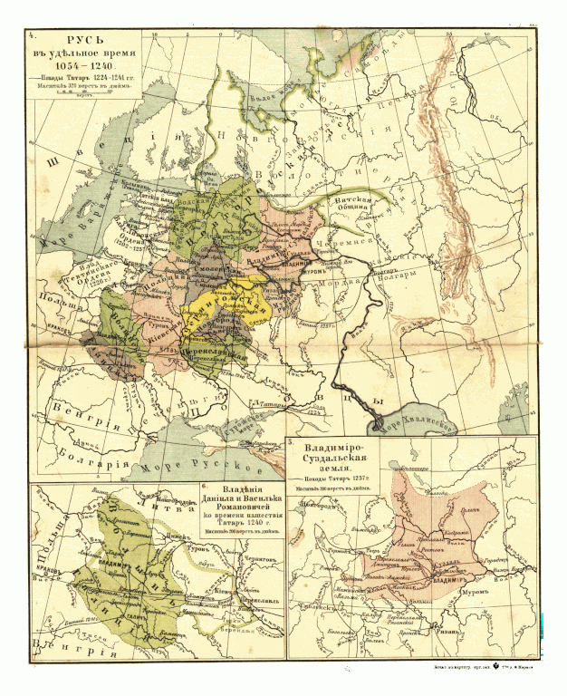
Русский: Карта Руси 1054-1240 гг. English: A historical map of Rus' (Belarus, Russia, and Ukraine) in 1054-1240. |
| Date | |
| Source | Учебный атлас по русской истории. - СПб., 1910 |
| Author | барон Н.Н.Торнау |
Licensing[edit]
|
This work is in the public domain in its country of origin and other countries and areas where the copyright term is the author's life plus 70 years or fewer. This work is in the public domain in the United States because it was published (or registered with the U.S. Copyright Office) before January 1, 1929. | |
| This file has been identified as being free of known restrictions under copyright law, including all related and neighboring rights. | |
File history
Click on a date/time to view the file as it appeared at that time.
| Date/Time | Thumbnail | Dimensions | User | Comment | |
|---|---|---|---|---|---|
| current | 19:47, 15 December 2017 | | 1,800 × 2,207 (1.77 MB) | Михаил Семёнов (talk | contribs) | User created page with UploadWizard |
You cannot overwrite this file.
File usage on Commons
The following 3 pages use this file:
- File:Historical map of Rus', 1054-1240.gif (file redirect)
- File:Historical map of Russia, 1054-1240.gif (file redirect)
- File:Historical map of Russian, 1054-1240.gif (file redirect)