File:Huka Falls.jpg
Jump to navigation
Jump to search

Size of this preview: 800 × 600 pixels. Other resolutions: 320 × 240 pixels | 640 × 480 pixels | 1,024 × 768 pixels | 1,280 × 960 pixels | 2,272 × 1,704 pixels.
Original file (2,272 × 1,704 pixels, file size: 1.16 MB, MIME type: image/jpeg)
Captions
Captions
Add a one-line explanation of what this file represents
Summary[edit]
| Description |
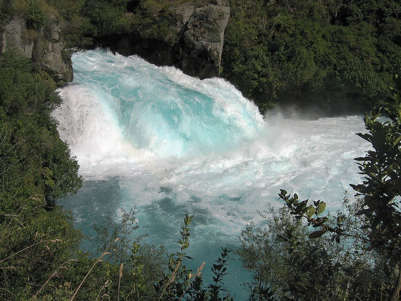
English: Huka Falls, on the Waikato River near Taupo, New Zealand. |
| Date | |
| Source | Own work |
| Author | Avenue |
| Other versions |
|
| Camera location | | View this and other nearby images on: OpenStreetMap |
|---|
| This is a retouched picture, which means that it has been digitally altered from its original version. Modifications: Curves adjusted for more contrast; sharpened slightly.
|
This image has been assessed using the Quality image guidelines and is considered a Quality image.
|
Licensing[edit]
I, the copyright holder of this work, hereby publish it under the following licenses:
This file is licensed under the Creative Commons Attribution-Share Alike 3.0 Unported license.
- You are free:
- to share – to copy, distribute and transmit the work
- to remix – to adapt the work
- Under the following conditions:
- attribution – You must give appropriate credit, provide a link to the license, and indicate if changes were made. You may do so in any reasonable manner, but not in any way that suggests the licensor endorses you or your use.
- share alike – If you remix, transform, or build upon the material, you must distribute your contributions under the same or compatible license as the original.

|
Permission is granted to copy, distribute and/or modify this document under the terms of the GNU Free Documentation License, Version 1.2 or any later version published by the Free Software Foundation; with no Invariant Sections, no Front-Cover Texts, and no Back-Cover Texts. A copy of the license is included in the section entitled GNU Free Documentation License. |
You may select the license of your choice.
File history
Click on a date/time to view the file as it appeared at that time.
| Date/Time | Thumbnail | Dimensions | User | Comment | |
|---|---|---|---|---|---|
| current | 02:11, 12 December 2010 | | 2,272 × 1,704 (1.16 MB) | Avenue (talk | contribs) | Curves adjusted for more contrast; sharpened slightly. |
| 04:09, 29 March 2010 |  | 2,272 × 1,704 (1.11 MB) | Avenue (talk | contribs) | Increase brightness slightly | |
| 16:14, 28 March 2010 |  | 2,272 × 1,704 (1.19 MB) | Avenue (talk | contribs) | {{Information |Description={{en|1=Huka Falls, on the Waikato River near Taupo, New Zealand.}} |Source={{own}} |Author=Avenue |Date=2006-03-15 |Permission= |other_versions= }} Category:Waikato River Category:Taupo [[Category:Waterfa |
You cannot overwrite this file.
File usage on Commons
The following 9 pages use this file:
- User:Alicia Fagerving (WMSE)/sandbox wlm uganda
- User talk:Avenue/Archives/2010
- Commons:Featured picture candidates/File:Huka Falls.jpg
- Commons:Featured picture candidates/Log/December 2010
- Commons:Quality images/Subject/Places/Natural structures/archive 2008 to 2012
- Commons:Quality images candidates/Archives April 2010
- Commons:Wiki Loves Monuments 2023 in Uganda/Wikidata monument list
- Category:Huka Falls
- Category:Itanda Falls
File usage on other wikis
The following other wikis use this file:
- Usage on arz.wikipedia.org
- Usage on br.wikipedia.org
- Usage on ca.wikipedia.org
- Usage on de.wikivoyage.org
- Usage on en.wikipedia.org
- Ramnefjellsfossen
- Mongefossen
- Sutherland Falls
- Kjelfossen
- Browne Falls
- Espeland Falls
- Huka Falls
- Aldeyjarfoss
- Háifoss
- Gjáin
- Svartifoss
- Ófærufoss
- Silver Strand Falls
- Amicalola Falls
- Shalmash Falls
- Duduma Waterfalls
- Fall Creek Falls
- Janet's Foss
- Barr Creek Falls
- Berkelah Falls
- Burgess Falls
- Kanangra Falls
- Crystal Cascades
- Cola de Caballo
- Kanching Falls
- Vazhachal Falls
- Adyanpara Falls
- Rjukan Falls
- Rusumo Falls
- Kota Tinggi Waterfalls
- Piedra Volada
- Valentine Falls
- Carrington Falls
- Twin Falls (Northern Territory)
- Wangi Falls
- Florence Falls
- Tjaynera Falls
- Tolmer Falls
- Tinaroo Falls
- Josephine Falls
- Malanda Falls
- Millstream Falls
- Murray Falls
- Herbert River Falls
- Milmilgee Falls
- Wongalee Falls
View more global usage of this file.