File:India Chhattisgarh relief map.svg
Jump to navigation
Jump to search

Size of this PNG preview of this SVG file: 479 × 600 pixels. Other resolutions: 191 × 240 pixels | 383 × 480 pixels | 613 × 768 pixels | 817 × 1,024 pixels | 1,635 × 2,048 pixels | 1,152 × 1,443 pixels.
Original file (SVG file, nominally 1,152 × 1,443 pixels, file size: 1.73 MB)
Captions
Captions
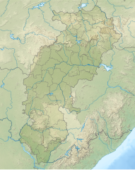
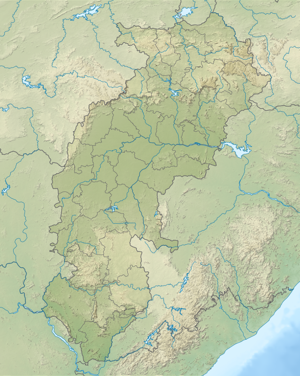
India Chhattisgarh relief map
Summary[edit]
| Description |
English: Relief map of Chhattisgarh. Relief data from STRM 3 |
| Date | |
| Source | Derivative of File:India Chhattisgarh location map.svg |
| Author | Own work based on User:Milenioscuro |
Licensing[edit]
This file is licensed under the Creative Commons Attribution-Share Alike 4.0 International license.
- You are free:
- to share – to copy, distribute and transmit the work
- to remix – to adapt the work
- Under the following conditions:
- attribution – You must give appropriate credit, provide a link to the license, and indicate if changes were made. You may do so in any reasonable manner, but not in any way that suggests the licensor endorses you or your use.
- share alike – If you remix, transform, or build upon the material, you must distribute your contributions under the same or compatible license as the original.
File history
Click on a date/time to view the file as it appeared at that time.
| Date/Time | Thumbnail | Dimensions | User | Comment | |
|---|---|---|---|---|---|
| current | 04:52, 19 July 2022 | | 1,152 × 1,443 (1.73 MB) | C1MM (talk | contribs) | c Sarangarh dist |
| 05:45, 23 April 2022 |  | 1,152 × 1,443 (1.72 MB) | C1MM (talk | contribs) | New districts | |
| 05:12, 12 May 2021 |  | 934 × 1,286 (1.4 MB) | C1MM (talk | contribs) | Added better relief and boundaries | |
| 19:25, 15 January 2021 |  | 1,613 × 2,221 (1.56 MB) | C1MM (talk | contribs) | Increased colour contrast | |
| 23:53, 16 December 2020 |  | 1,613 × 2,221 (2.11 MB) | C1MM (talk | contribs) | Changed colours of the relief map | |
| 05:10, 24 October 2020 |  | 1,613 × 2,221 (2.04 MB) | C1MM (talk | contribs) | Fixed colors for relief and added bathymetry | |
| 17:43, 21 April 2020 |  | 1,531 × 2,221 (2.34 MB) | C1MM (talk | contribs) | Added rivers | |
| 20:37, 20 April 2020 |  | 1,531 × 2,221 (2.3 MB) | C1MM (talk | contribs) | Uploaded a work by Based on Milenoscuro from Own work based on File:India Chhattisgarh location map with UploadWizard |
You cannot overwrite this file.
File usage on Commons
There are no pages that use this file.
File usage on other wikis
The following other wikis use this file:
- Usage on bn.wikipedia.org
- Usage on de.wikipedia.org
- Usage on en.wikipedia.org
- Kanger Valley National Park
- Chitrakote Falls
- Achanakmar Wildlife Sanctuary
- Murrum Silli Dam
- Kherkatta Dam
- Bailadila Range
- Mahan Small Hydel Project
- Sirpur Group of Monuments
- Tamda Ghumar
- Mandwa Waterfalls
- Mendri Ghumar
- Module:Location map/data/India Chhattisgarh
- Module:Location map/data/India Chattisgarh
- Module:Location map/data/India Chhattisgarh/doc
- Chhindari Dam
- Usage on es.wikipedia.org
- Usage on fr.wikipedia.org
- Raipur
- Surajpur
- Kanker
- Kawardha
- Bhilai
- Modèle:Géolocalisation/Chhattisgarh
- Centrale de Sipat
- Centrale de Korba
- Mine de Gevra
- Mine de Kusmunda
- Mine de Dipka
- Korba (Inde)
- Durg
- Jagdalpur
- Bilaspur (Chhattisgarh)
- Ambikapur
- Balrampur (Chhattisgarh)
- Kondagaon
- Mungeli
- Baloda Bazar
- Dhamtari
- Jashpur Nagar
- Baikunthpur (Koriya)
- Mahasamund
- Rajnandgaon
View more global usage of this file.