File:Isle of Ewe - OS.png
Jump to navigation
Jump to search
Size of this preview: 680 × 599 pixels. Other resolutions: 272 × 240 pixels | 545 × 480 pixels | 871 × 768 pixels | 1,162 × 1,024 pixels | 1,467 × 1,293 pixels.
Original file (1,467 × 1,293 pixels, file size: 81 KB, MIME type: image/png)
Captions
Captions
Add a one-line explanation of what this file represents
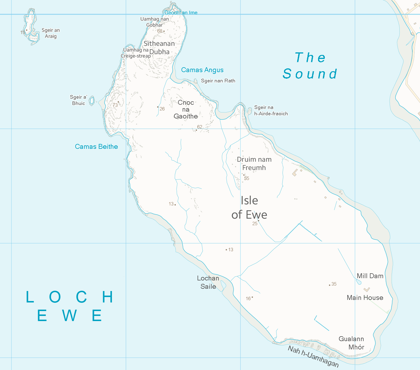
| Description | Map of the Isle of Ewe, Scotland | ||||||
| Date | |||||||
| Source | Ordnance Survey OpenData (with amendments) | ||||||
| Author | Ordnance Survey / Prioryman | ||||||
| Permission (Reusing this file) |
|
_(St_Edwards_Crown).svg)
File history
Click on a date/time to view the file as it appeared at that time.
| Date/Time | Thumbnail | Dimensions | User | Comment | |
|---|---|---|---|---|---|
| current | 21:41, 15 October 2013 | | 1,467 × 1,293 (81 KB) | Prioryman (talk | contribs) | Added more place names |
| 20:13, 15 October 2013 |  | 1,467 × 1,293 (80 KB) | Prioryman (talk | contribs) | {{Information |Description=Map of the Isle of Ewe, Scotland |Source=Ordnance Survey OpenData (with amendments) |Date=15 October 2013 |Author=Ordnance Survey / Prioryman |Permission={{OSOpenData}} |other_versions= }} |
You cannot overwrite this file.
File usage on Commons
There are no pages that use this file.
File usage on other wikis
The following other wikis use this file:
- Usage on de.wikipedia.org
- Usage on en.wikipedia.org
- Usage on ga.wikipedia.org
- Usage on it.wikipedia.org