File:KS-MO County map.svg
Jump to navigation
Jump to search

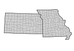
Size of this PNG preview of this SVG file: 145 × 100 pixels. Other resolutions: 320 × 221 pixels | 640 × 441 pixels | 1,024 × 706 pixels | 1,280 × 883 pixels | 2,560 × 1,766 pixels.
Original file (SVG file, nominally 145 × 100 pixels, file size: 120 KB)
Captions
Captions
Add a one-line explanation of what this file represents
Summary[edit]
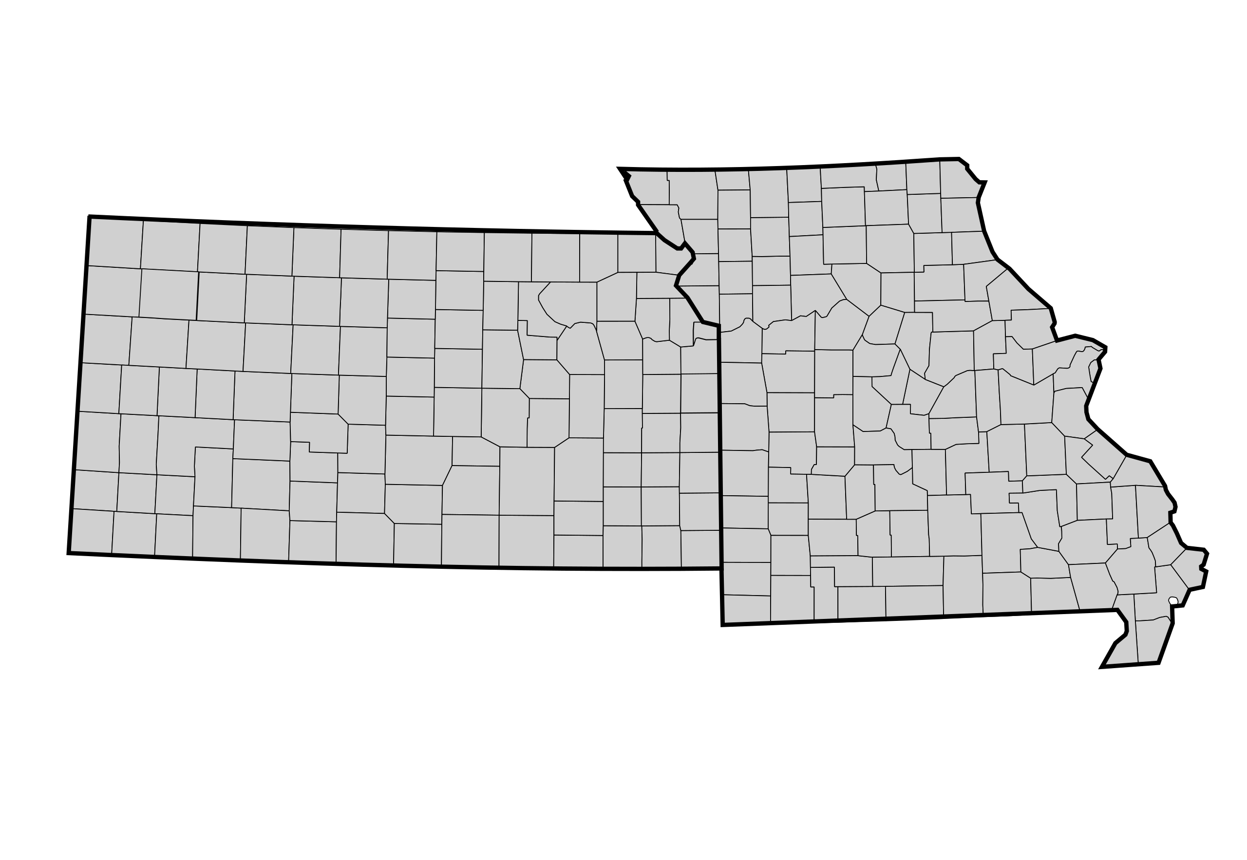
| Description | A blank map of United States counties. Every county's object in this SVG has its FIPS code in the object id field, with the county name and 2-letter postal state abbreviation in the label field. In cases where there is a county in a state that also has a county-equivalent city of the same name, the word "County" is appended to the county name. In all other cases, "County", "Parish", "Borough", or other county equivalent is omitted from the name. Examples of id and fields: ;Mercer Co., New Jersey ::id="34021" ::label="Mercer, NJ" ;St. Louis, Missouri : This is a city and county: :: id="29510" :: label="St._Louis, MO" ;St. Louis Co., Missouri : This is an adjacent county separate from the city of St. Louis: :: id="29089" :: label="St. Louis County, MO". In this file, the id is meant for machine processing, and the label is meant for human consumption. As SVG files are easily parseable and readable text files, it is fairly simple to write a program or script that creates a copy of this map with the color of certain counties based on some datum, such as population density, e.g. Much such data includes FIPS codes, which provides an easy and fool-proof way to identify the associated SVG object in the map. | ||
| Date | (UTC) | ||
| Source | |||
| Author |
|
||
| SVG development |
|
Licensing[edit]
I, the copyright holder of this work, hereby publish it under the following license:
| I, the copyright holder of this work, release this work into the public domain. This applies worldwide. In some countries this may not be legally possible; if so: I grant anyone the right to use this work for any purpose, without any conditions, unless such conditions are required by law. |
Original upload log[edit]
This image is a derivative work of the following images:
- File:USA_Counties_with_FIPS_and_names.svg licensed with PD-self
- 2010-02-23T21:18:54Z Joebeone 555x352 (1995547 Bytes) Fixed three counties that did not have an `inkscape:label` element: "West Feliciana, LA" (22125), "Jefferson, LA" (22051), "Laurens, SC" (45059). This can help working with entire states by simply examining the last two char
- 2009-11-25T23:50:45Z TastyCakes 555x352 (1995433 Bytes) Fixed the IDs of a couple of counties that were slightly off and removed the non standard ASCII characters that were screwing it up in [[User:TastyCakes/Map Maker|my map making script]].
- 2009-02-26T18:48:59Z Kbh3rd 555x352 (1979673 Bytes) Add county outlines; make the county path id equal to the FIPS code; see talk
- 2009-02-26T03:26:12Z Kbh3rd 555x352 (1577717 Bytes) {{Information |Description=A blank map of [[:en:United States|United States]] [[:en:County (United States)|counties]]. Every county's object in this SVG has its object name in the form of "FFFFF_SS_Name" with "FFFFFF" being
Uploaded with derivativeFX
File history
Click on a date/time to view the file as it appeared at that time.
| Date/Time | Thumbnail | Dimensions | User | Comment | |
|---|---|---|---|---|---|
| current | 19:00, 14 April 2010 | | 145 × 100 (120 KB) | TastyCakes (talk | contribs) | {{Information |Description=A blank map of United States counties. Every county's object in this SVG has its FIPS code in the object id field, with the county name and 2-letter |
You cannot overwrite this file.
File usage on Commons
There are no pages that use this file.
File usage on other wikis
The following other wikis use this file:
- Usage on en.wikipedia.org