File:Kadasterkaart Gouda 1832 detail.jpg
Jump to navigation
Jump to search
Size of this preview: 800 × 586 pixels. Other resolutions: 320 × 234 pixels | 640 × 468 pixels | 1,024 × 750 pixels | 1,280 × 937 pixels | 2,000 × 1,464 pixels.
Original file (2,000 × 1,464 pixels, file size: 683 KB, MIME type: image/jpeg)
Captions
Captions
Add a one-line explanation of what this file represents
Summary[edit]
| Description |
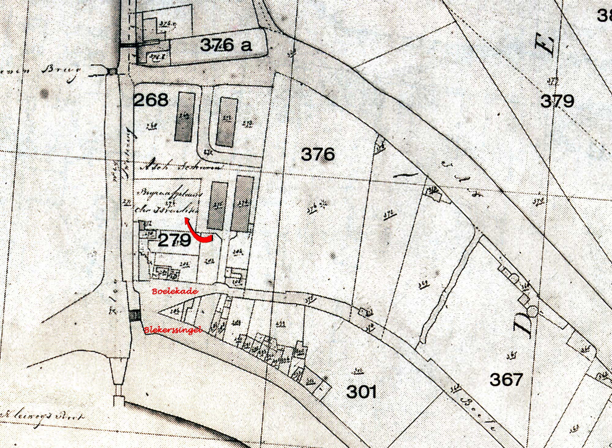
Nederlands: Detail van een kadsterkaart van Gouda uit 1832 met de vermelding "Begraafplaats der Israëlieten, rode pil wijst naar de begraafplaats en is door mij toegevoegd, evenals de huidige straatnamen in het rood |
| Date | |
| Source |
Nederlands: eigen scan van een kaart uit de Kadastrale Atlas van Zuid-Holland 1832 - Gouda |
| Author | Unknown author |
Licensing[edit]
|
This work is in the public domain in its country of origin and other countries and areas where the copyright term is the author's life plus 100 years or fewer. | |
| This file has been identified as being free of known restrictions under copyright law, including all related and neighboring rights. | |
File history
Click on a date/time to view the file as it appeared at that time.
| Date/Time | Thumbnail | Dimensions | User | Comment | |
|---|---|---|---|---|---|
| current | 14:58, 16 May 2013 | | 2,000 × 1,464 (683 KB) | Gouwenaar (talk | contribs) | {{Information |Description={{nl|Detail van een kadsterkaart van Gouda uit 1832 met de vermelding "Begraafplaats der Israëlieten, rode pil wijst naar de begraafplaats en is door mij toegevoegd, evenals de huidige straatnamen in het rood}} |Source={{nl|... |
You cannot overwrite this file.
File usage on Commons
The following 2 pages use this file:
File usage on other wikis
The following other wikis use this file:
- Usage on nl.wikipedia.org
- Usage on www.wikidata.org