File:Keerbergen aerial.jpg
Jump to navigation
Jump to search

Size of this preview: 800 × 501 pixels. Other resolutions: 320 × 200 pixels | 640 × 401 pixels | 1,024 × 641 pixels | 1,280 × 801 pixels | 3,112 × 1,948 pixels.
Original file (3,112 × 1,948 pixels, file size: 4.14 MB, MIME type: image/jpeg)
Captions
Captions
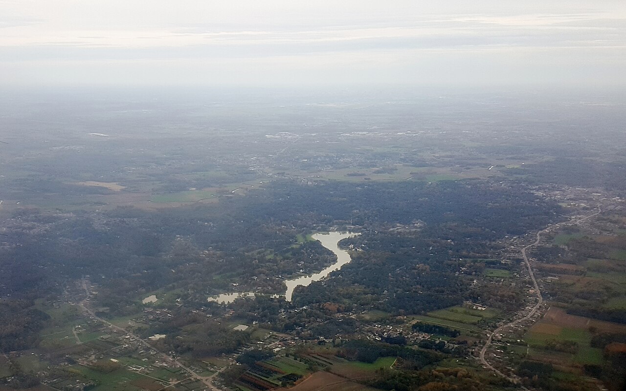
Aerial photograph of the lake at Keerbergen, Belgium
Summary[edit]
| Description |
English: Aerial photograph of the lake and adjacent golf course at Keerbergen, Belgium. The town itself is near the right edge of the picture. In the foggy background is the town of Haacht. Samsung Galaxy S6 f=4.3mm f/1.9 at 1/100s ISO 50. Colour corrected and framed using GIMP 2.10.34.
Nederlands: Luchtfoto van het Meer van Keerbergen en het aangrenzende golfterrein. Het dorp ligt bij de rechterrand van de foto. Op de mistige achtergrond ligt het dorp Haacht. Samsung Galaxy S6 f=4.3mm f/1.9 bij 1/100s ISO 50. Kleurcorrectie en cadrage met GIMP 2.10.34. |
| Date | CET |
| Source | Own work |
| Author | Lieven Smits |
Licensing[edit]
I, the copyright holder of this work, hereby publish it under the following license:
This file is licensed under the Creative Commons Attribution-Share Alike 4.0 International license.
- You are free:
- to share – to copy, distribute and transmit the work
- to remix – to adapt the work
- Under the following conditions:
- attribution – You must give appropriate credit, provide a link to the license, and indicate if changes were made. You may do so in any reasonable manner, but not in any way that suggests the licensor endorses you or your use.
- share alike – If you remix, transform, or build upon the material, you must distribute your contributions under the same or compatible license as the original.
File history
Click on a date/time to view the file as it appeared at that time.
| Date/Time | Thumbnail | Dimensions | User | Comment | |
|---|---|---|---|---|---|
| current | 21:36, 27 April 2023 | | 3,112 × 1,948 (4.14 MB) | Lieven Smits (talk | contribs) | Uploaded own work with UploadWizard |
You cannot overwrite this file.
File usage on Commons
The following page uses this file: