File:Kernen 1968 ortho.jpg
Jump to navigation
Jump to search

Size of this preview: 600 × 600 pixels. Other resolutions: 240 × 240 pixels | 480 × 480 pixels | 768 × 768 pixels | 1,024 × 1,024 pixels | 2,048 × 2,048 pixels | 30,578 × 30,578 pixels.
Original file (30,578 × 30,578 pixels, file size: 147.39 MB, MIME type: image/jpeg)
Captions
Captions
Add a one-line explanation of what this file represents
Summary[edit]
| Description |
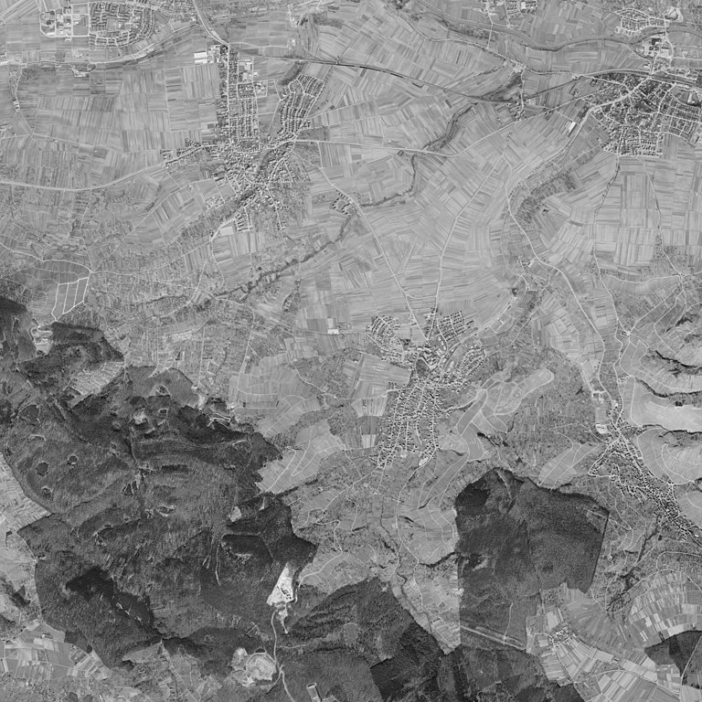
Deutsch: Luftbild von Kernen von 1968. |
| Date | |
| Source | Extrakt von: https://www.leo-bw.de/kartenvergleich (zugängiger Mirror vom Landesarchiv) |
| Author | Landesvermessungsamt Baden-Württemberg |
| Permission (Reusing this file) |
Nutzungsbedinungen / Zusatzinfos |
| Other versions |


| Archival data | |
| Accession number |
Findbuch EL 68 IX |
| Camera location | | View this and other nearby images on: OpenStreetMap |
|---|
| Warning | The original file is very high-resolution. It might not load properly or could cause your browser to freeze when opened at full size. |
|---|
Licensing[edit]
This file is licensed under the Creative Commons Attribution 3.0 Unported license.
Attribution: Landesarchiv Baden Württemberg, Staatsarchiv Ludwigsburg
- You are free:
- to share – to copy, distribute and transmit the work
- to remix – to adapt the work
- Under the following conditions:
- attribution – You must give appropriate credit, provide a link to the license, and indicate if changes were made. You may do so in any reasonable manner, but not in any way that suggests the licensor endorses you or your use.
File history
Click on a date/time to view the file as it appeared at that time.
| Date/Time | Thumbnail | Dimensions | User | Comment | |
|---|---|---|---|---|---|
| current | 23:17, 29 September 2021 | | 30,578 × 30,578 (147.39 MB) | Laserlicht (talk | contribs) | Uploaded a work by Landesvermessungsamt Baden-Württemberg from Extrakt von: https://www.leo-bw.de/kartenvergleich with UploadWizard |
You cannot overwrite this file.
File usage on Commons
The following 2 pages use this file: