File:Keybiscayneaerial (cropped).jpg
Jump to navigation
Jump to search
Size of this preview: 571 × 600 pixels. Other resolutions: 229 × 240 pixels | 457 × 480 pixels | 801 × 841 pixels.
Original file (801 × 841 pixels, file size: 69 KB, MIME type: image/jpeg)
Captions
Captions
Add a one-line explanation of what this file represents
Summary[edit]

|
This file was moved to Wikimedia Commons from en.wikipedia using a bot script. All source information is still present. It requires review. Additionally, there may be errors in any or all of the information fields; information on this file should not be considered reliable and the file should not be used until it has been reviewed and any needed corrections have been made. Once the review has been completed, this template should be removed. For details about this file, see below. Check now! |
| Description | |
| Source | NOAA |
| Author | NOAA |
| Other versions |

.jpg&action=edit§ion=1)
.jpg&action=edit&withJS=MediaWiki:Botcheck.js)
Licensing[edit]
.jpg&action=edit§ion=2)
This image is in the public domain because it contains materials that originally came from the U.S. National Oceanic and Atmospheric Administration, taken or made as part of an employee's official duties.
|
Original upload log[edit]
.jpg&action=edit§ion=3)
Transferred from en.wikipedia to Commons by Sinuhe20 using CommonsHelper.
The original description page was here. All following user names refer to en.wikipedia.
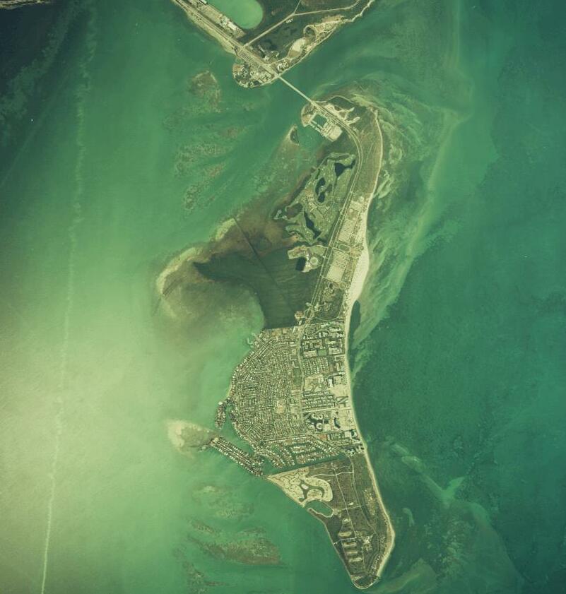
- 2006-09-02 03:15 Donald Albury 934×930× (100062 bytes) Downloaded from [http://mfproducts.nos.noaa.gov/images/Photos/5WPA1342.gif NOAA aerial photography web site].
- 2006-09-02 02:43 Donald Albury 1040×916× (37983 bytes) Downloaded from http://www.aoml.noaa.gov/general/lib/cp.pdf#search=%22safety%20valve%20biscayne%20bay%22 [Aerial photograph 5WPA1342, 1999. Scale 1:40000, azimuth 187.6, 25.70489° N, 80.16356° W. (Coastal Aerial Photography, NOAA/National Ocean Service,
File history
Click on a date/time to view the file as it appeared at that time.
| Date/Time | Thumbnail | Dimensions | User | Comment | |
|---|---|---|---|---|---|
| current | 00:48, 21 November 2023 | | 801 × 841 (69 KB) | Wow (talk | contribs) | File:Keybiscayneaerial.jpg cropped 14 % horizontally, 10 % vertically using CropTool with precise mode. |
You cannot overwrite this file.
File usage on Commons
The following page uses this file:
File usage on other wikis
The following other wikis use this file:
- Usage on ceb.wikipedia.org
- Usage on de.wikipedia.org
- Usage on en.wikipedia.org
- Usage on eu.wikipedia.org
- Usage on ro.wikipedia.org
- Usage on www.wikidata.org
.jpg&oldid=824134612)