File:Khan-al-Tujar-plan-PEF-c1881-1.jpg
Jump to navigation
Jump to search
Size of this preview: 487 × 600 pixels. Other resolutions: 195 × 240 pixels | 390 × 480 pixels | 865 × 1,065 pixels.
Original file (865 × 1,065 pixels, file size: 68 KB, MIME type: image/jpeg)
Captions
Captions
Add a one-line explanation of what this file represents
Summary[edit]
| Description |
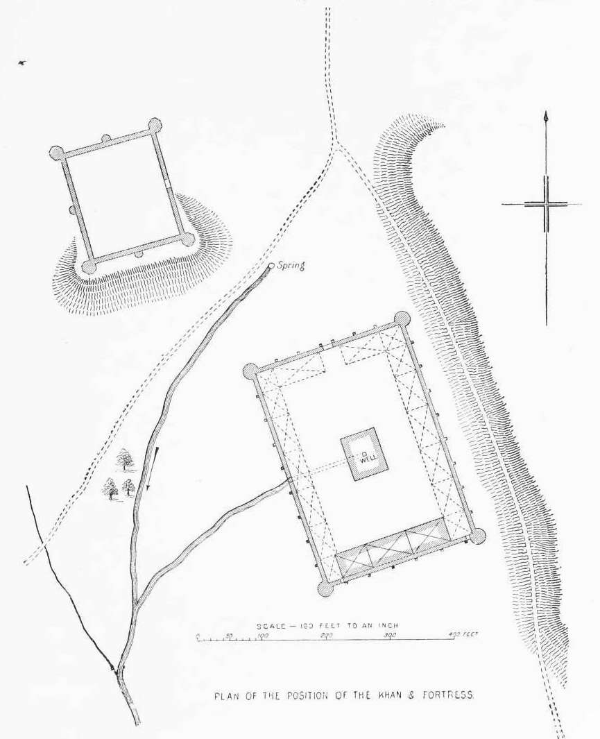
English: Plan of Khan al-Tujar near Mt Tabor. |
| Date | circa 1881 |
| Source |
The survey of western Palestine: memoirs of the topography, orography, hydrography, and archaeology (1881) By Conder, C. R. (Claude Reignier), 1848-1910; Kitchener, Horatio Herbert Kitchener, Earl, 1850-1916; Palmer, Edward Henry, 1840-1882; Besant, Walter, Sir, 1836-1901 |
| Author | See source. |
Licensing[edit]
|
This work is in the public domain in its country of origin and other countries and areas where the copyright term is the author's life plus 70 years or fewer. This work is in the public domain in the United States because it was published (or registered with the U.S. Copyright Office) before January 1, 1929. | |
| This file has been identified as being free of known restrictions under copyright law, including all related and neighboring rights. | |
File history
Click on a date/time to view the file as it appeared at that time.
| Date/Time | Thumbnail | Dimensions | User | Comment | |
|---|---|---|---|---|---|
| current | 15:56, 14 August 2016 | | 865 × 1,065 (68 KB) | Bukvoed (talk | contribs) | User created page with UploadWizard |
You cannot overwrite this file.
File usage on Commons
The following page uses this file: