File:Kings Canyon - panoramio - Klaas Ole Kürtz (2).jpg
Jump to navigation
Jump to search
Size of this preview: 800 × 198 pixels. Other resolutions: 320 × 79 pixels | 640 × 158 pixels | 2,048 × 507 pixels.
Original file (2,048 × 507 pixels, file size: 744 KB, MIME type: image/jpeg)
Captions
Captions
Add a one-line explanation of what this file represents
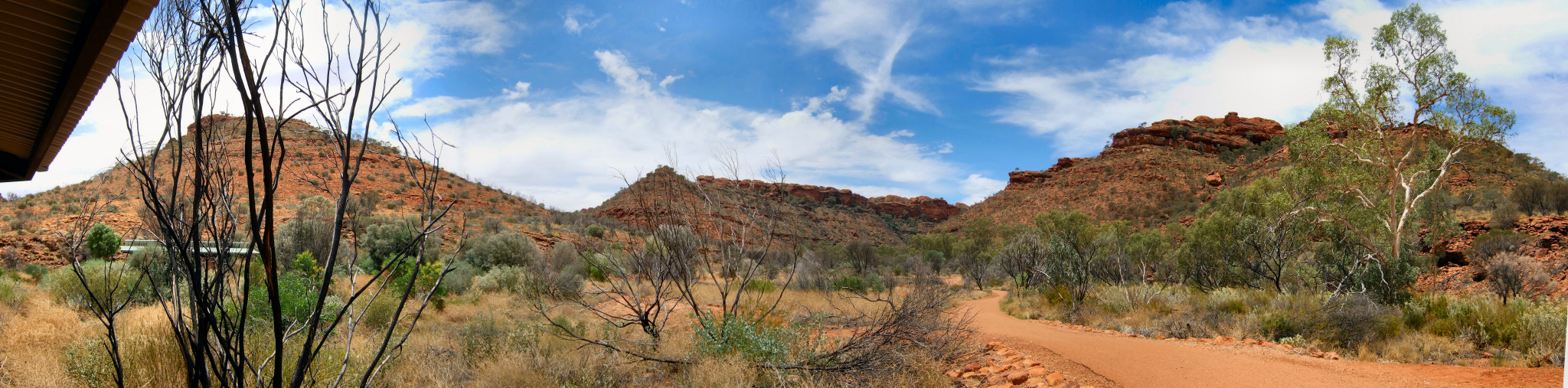
| Description | Kings Canyon | ||
| Date | 5 January 2009 (original upload date) | ||
| Source | https://web.archive.org/web/20161012203018/http://www.panoramio.com/photo/17524373 | ||
| Author | Klaas Ole Kürtz | ||
| Permission (Reusing this file) |
This file is licensed under the Creative Commons Attribution-Share Alike 3.0 Unported license. Attribution: Klaas Ole Kürtz
|
| Camera location | | View this and other nearby images on: OpenStreetMap |
|---|
.jpg¶ms=-24.255455_N_0131.570077_E_globe:Earth_type:camera_source:Panoramio_&language=en)
File history
Click on a date/time to view the file as it appeared at that time.
| Date/Time | Thumbnail | Dimensions | User | Comment | |
|---|---|---|---|---|---|
| current | 03:23, 29 September 2016 | 2,048 × 507 (744 KB) | Panoramio upload bot (talk | contribs) | {{Information |description=Kings Canyon |date={{Original upload date|2009-01-05}} |source=http://www.panoramio.com/photo/17524373 |author=[http://www.panoramio.com/user/2650255?with_photo_id=17524373 Klaas Ole Kürtz] |permission={{cc-by-sa-3.0|Klaas O... |
You cannot overwrite this file.
File usage on Commons
There are no pages that use this file.
.jpg&oldid=462374346)