File:KnowsleyNorthSeftonEastConstituency.svg
Jump to navigation
Jump to search

Size of this PNG preview of this SVG file: 215 × 230 pixels. Other resolutions: 224 × 240 pixels | 449 × 480 pixels | 718 × 768 pixels | 957 × 1,024 pixels | 1,914 × 2,048 pixels.
Original file (SVG file, nominally 215 × 230 pixels, file size: 34 KB)
Captions
Captions
Add a one-line explanation of what this file represents
| I, the copyright holder of this work, release this work into the public domain. This applies worldwide. In some countries this may not be legally possible; if so: I grant anyone the right to use this work for any purpose, without any conditions, unless such conditions are required by law. |
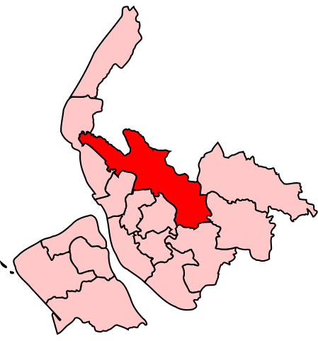
Map of the UK Parliament constituency of Knowsley North and Sefton East, on Merseyside.
File history
Click on a date/time to view the file as it appeared at that time.
| Date/Time | Thumbnail | Dimensions | User | Comment | |
|---|---|---|---|---|---|
| current | 12:55, 8 September 2006 | | 215 × 230 (34 KB) | Wereon (talk | contribs) | Map of the UK Parliament constituency of Knowsley North and Sefton East, on Merseyside. Category:Maps of Parliamentary constituencies on Merseyside |
You cannot overwrite this file.
File usage on Commons
There are no pages that use this file.
File usage on other wikis
The following other wikis use this file:
- Usage on en.wikipedia.org