File:Korbacher Spalte Wolfgang-Bonhage-Museum GeoFoyer Kalkturm (Foto Norbert Kaiser).jpg
Jump to navigation
Jump to search

Size of this preview: 714 × 600 pixels. Other resolutions: 286 × 240 pixels | 571 × 480 pixels | 952 × 800 pixels.
Original file (952 × 800 pixels, file size: 722 KB, MIME type: image/jpeg)
Captions
Captions
Add a one-line explanation of what this file represents
Summary[edit]
.jpg&action=edit§ion=1)
| Description |
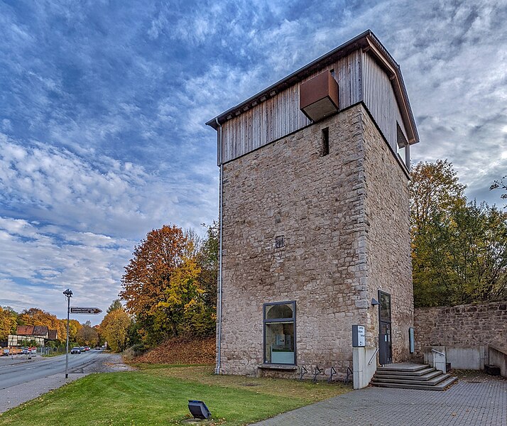
Deutsch: Korbach: Blick auf einen ehemaligen Kalkofen nahe der Korbacher Spalte. Das sogenannte "GeoFoyer Kalkturm" ist eine Außenstelle des Wolfgang-Bonhage-Museums und informiert über Entstehung, Gewinnung und Verarbeitung von Kalkstein. |
| Date | |
| Source | Own work |
| Author | Norbert Kaiser |
| Permission (Reusing this file) |
Deutsch: Dieses Foto wurde von Norbert Kaiser erstellt und unter nachfolgend aufgeführter Lizenz veröffentlicht. Das Bild kann frei verwendet werden solange der Urheber (Norbert Kaiser), die Quelle (Wikimedia Commons) und die Lizenz (CC-BY-SA 4.0) in erkennbarem Zusammenhang mit dem Bild genannt wird.
English: This photo was taken by Norbert Kaiser and released under the license(s) stated below. You are free to use it for any purpose as long as you credit the author (Norbert Kaiser), the Source (Wikimedia Commons) and the license (CC-BY-SA 4.0) in close relation to the image.
I, the copyright holder of this work, hereby publish it under the following license: This file is licensed under the Creative Commons Attribution-Share Alike 4.0 International license.
|
| Camera location | | View this and other nearby images on: OpenStreetMap |
|---|
.jpg¶ms=050.936692_N_0014.206919_E_globe:Earth_type:camera_alt:314.21_source:exif_&language=en)
File history
Click on a date/time to view the file as it appeared at that time.
| Date/Time | Thumbnail | Dimensions | User | Comment | |
|---|---|---|---|---|---|
| current | 22:03, 13 December 2020 | | 952 × 800 (722 KB) | Norbert Kaiser (talk | contribs) | == {{int:filedesc}} == {{Information |description= {{de|Korbach: Blick auf einen ehemaligen Kalkofen nahe der Korbacher Spalte. Das sogenannte "GeoFoyer Kalkturm" ist eine Außenstelle des Wolfgang-Bonhage-Museums und informiert über Entstehung, Gewinnung und Verarbeitung von Kalkstein.}} |date=2020-10-21 |source={{own}} |author=Norbert Kaiser |permission= {{de|Dieses Foto wurde von Norbert Kaiser erstellt und unter nachfolgend aufgeführter Lize... |
You cannot overwrite this file.
File usage on Commons
The following 2 pages use this file:
File usage on other wikis
The following other wikis use this file:
- Usage on de.wikipedia.org
.jpg&oldid=707262362)