File:Korea-8provinces (zh-hant).svg
Jump to navigation
Jump to search

Size of this PNG preview of this SVG file: 385 × 599 pixels. Other resolutions: 154 × 240 pixels | 308 × 480 pixels | 493 × 768 pixels | 658 × 1,024 pixels | 1,316 × 2,048 pixels.
Original file (SVG file, nominally 800 × 1,245 pixels, file size: 277 KB)
Captions
Captions
Add a one-line explanation of what this file represents
| Description |
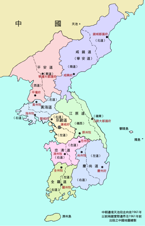
中文(繁體):繁體中文版朝鮮八道行政地區圖
中文(简体):繁体中文版朝鲜八道行政地区图
한국어: 중국어 정체자판 팔도 행정구역도
日本語: 中国語繁体字版朝鮮八道行政区域図 |
| Date | |
| Source |
This file was derived from: Korea-8provinces.jpg |
| Author |
|
| Permission (Reusing this file) |
This file is licensed under the Creative Commons Attribution-Share Alike 1.0 Generic license.
|
| Other versions |
|
| SVG development |
.svg)
.svg)

File history
Click on a date/time to view the file as it appeared at that time.
| Date/Time | Thumbnail | Dimensions | User | Comment | |
|---|---|---|---|---|---|
| current | 13:19, 18 May 2017 | | 800 × 1,245 (277 KB) | Howard61313 (talk | contribs) | New version |
| 12:22, 18 May 2017 |  | 800 × 1,245 (285 KB) | Howard61313 (talk | contribs) | {{Information |Description={{zh-hant|1=繁體中文版朝鮮八道行政地區圖}} {{zh-hans|1=繁体中文版朝鲜八道行政地区图}} {{ko|1=중국어 정체자판 조선팔도 행정구역도}} |sourc... |
You cannot overwrite this file.
File usage on Commons
The following 3 pages use this file:
File usage on other wikis
The following other wikis use this file:
.svg&oldid=704850924)