File:Kort over området mellem Nyhavn - Toldbodgade - Sankt Annæ Plads - Bredgade.jpg

Original file (7,358 × 5,110 pixels, file size: 28.63 MB, MIME type: image/jpeg)
Captions
Captions
Summary[edit]
| Description |
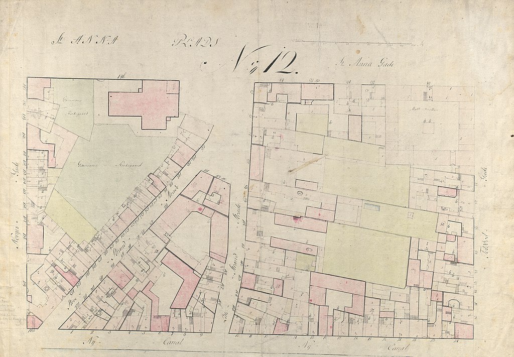
English: Kort over området mellem Nyhavn - Toldbodgade - Sankt Annæ Plads - Bredgade
Med matrikelnumre af 1755 Tid Fremstillet: ca. 1800 |
| Date | c. 1800 |
| Source |
Kort over området mellem Nyhavn - Toldbodgade - Sankt Annæ Plads - Bredgade Med matrikelnumre af 1755 |
| Author | J. H. Rawert |
Licensing[edit]
|
This is a faithful photographic reproduction of a two-dimensional, public domain work of art. The work of art itself is in the public domain for the following reason:
The official position taken by the Wikimedia Foundation is that "faithful reproductions of two-dimensional public domain works of art are public domain".
This photographic reproduction is therefore also considered to be in the public domain in the United States. In other jurisdictions, re-use of this content may be restricted; see Reuse of PD-Art photographs for details. | ||||
File history
Click on a date/time to view the file as it appeared at that time.
| Date/Time | Thumbnail | Dimensions | User | Comment | |
|---|---|---|---|---|---|
| current | 15:04, 11 January 2023 | | 7,358 × 5,110 (28.63 MB) | Ramblersen2 (talk | contribs) | Uploaded a work by J. H. Rawert from Kort over området mellem Nyhavn - Toldbodgade - Sankt Annæ Plads - Bredgade Med matrikelnumre af 1755 with UploadWizard |
You cannot overwrite this file.
File usage on Commons
There are no pages that use this file.