File:Krasnodarsky Krai-SOCHI (cropped).png
Jump to navigation
Jump to search
Size of this preview: 718 × 599 pixels. Other resolutions: 288 × 240 pixels | 575 × 480 pixels | 920 × 768 pixels | 1,227 × 1,024 pixels | 2,453 × 2,048 pixels | 3,542 × 2,957 pixels.
Original file (3,542 × 2,957 pixels, file size: 129 KB, MIME type: image/png)
Captions
Captions
Add a one-line explanation of what this file represents
Summary[edit]
| Description |
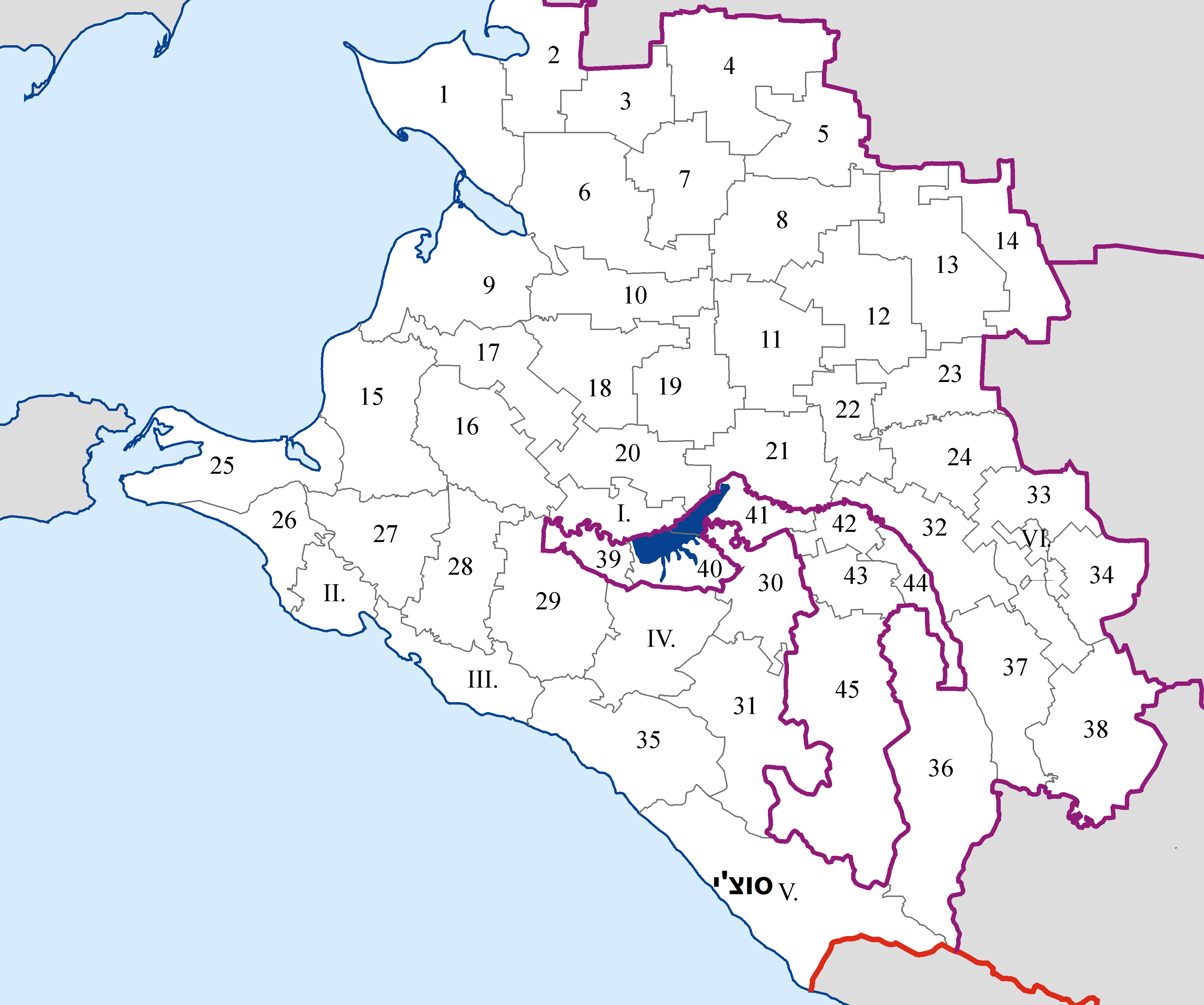
English: Administrative map of Krasnodarsky krai (Russia) in Mercator projecton cropped by 1 degree lines (36° - 42° E, 43° - 47° N) with numbers of districts
Русский: Административная карта Краснодарского края и Адыгеи в проекции Меркатора, обрезанная ровно по градусной сетке (36° - 42° в.д., 43° - 47° с.ш.) с номерами районов и территорий, подчинённых админитрациям городов |
| Date | 16 July 2017 (upload date) |
| Source | https://commons.wikimedia.org/w/index.php?title=File:Krasnodarsky_Krai-SOCHI.png |
| Author | Koryakov Yuri (Image:Krasnodarsky Krai-admin.png), аddition of numbers: Yuriy Danilevsky |
| Other versions |

.png&action=edit§ion=1)
Licensing[edit]
.png&action=edit§ion=2)
| I, the copyright holder of this work, release this work into the public domain. This applies worldwide. In some countries this may not be legally possible; if so: I grant anyone the right to use this work for any purpose, without any conditions, unless such conditions are required by law. |
File history
Click on a date/time to view the file as it appeared at that time.
| Date/Time | Thumbnail | Dimensions | User | Comment | |
|---|---|---|---|---|---|
| current | 14:52, 16 July 2017 | | 3,542 × 2,957 (129 KB) | Pkbwcgs (talk | contribs) | File:Krasnodarsky Krai-SOCHI.png cropped 2 % horizontally and 3 % vertically using CropTool with precise mode. |
You cannot overwrite this file.
File usage on Commons
The following page uses this file:
File usage on other wikis
The following other wikis use this file:
- Usage on mdf.wikipedia.org
.png&oldid=514991564)