File:Kumamoto map.png
Jump to navigation
Jump to search

Size of this preview: 636 × 599 pixels. Other resolutions: 255 × 240 pixels | 509 × 480 pixels.
Original file (800 × 754 pixels, file size: 150 KB, MIME type: image/png)
Captions
Captions
Add a one-line explanation of what this file represents
Summary[edit]
| Description |
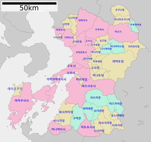
한국어: 구마모토현의 지도 |
| Date | |
| Source | Own work |
| Author | Fgg13 |
Licensing[edit]
| I, the copyright holder of this work, release this work into the public domain. This applies worldwide. In some countries this may not be legally possible; if so: I grant anyone the right to use this work for any purpose, without any conditions, unless such conditions are required by law. |
File history
Click on a date/time to view the file as it appeared at that time.
| Date/Time | Thumbnail | Dimensions | User | Comment | |
|---|---|---|---|---|---|
| current | 11:37, 18 August 2021 | | 800 × 754 (150 KB) | Fgg13 (talk | contribs) | 비어있는 구역 추가 |
| 13:30, 15 August 2021 |  | 800 × 754 (107 KB) | Fgg13 (talk | contribs) | Cross-wiki upload from ko.wikipedia.org |
You cannot overwrite this file.
File usage on Commons
The following page uses this file:
File usage on other wikis
The following other wikis use this file:
- Usage on ko.wikipedia.org