File:Landscape view at Ramatheertham 01.jpg
Jump to navigation
Jump to search
Size of this preview: 800 × 530 pixels. Other resolutions: 320 × 212 pixels | 640 × 424 pixels | 1,024 × 678 pixels | 1,280 × 848 pixels | 1,600 × 1,060 pixels.
Original file (1,600 × 1,060 pixels, file size: 1.02 MB, MIME type: image/jpeg)
Captions
Captions
Add a one-line explanation of what this file represents
Summary[edit]
| Description |
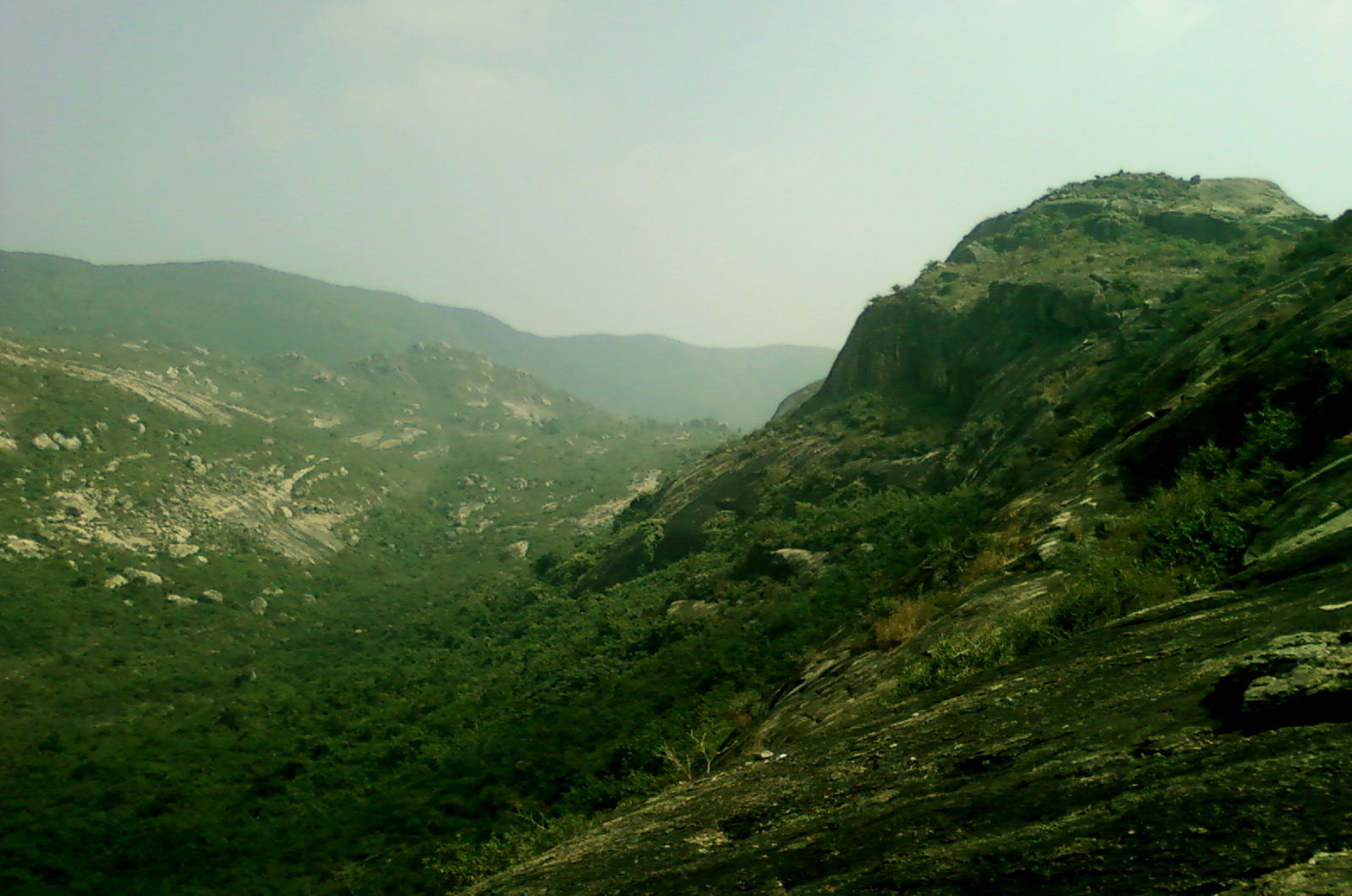
English: Ramatheertham in Vizianagaram district |
| Date | |
| Source | Own work |
| Author | Adityamadhav83 |
Licensing[edit]
I, the copyright holder of this work, hereby publish it under the following license:
This file is licensed under the Creative Commons Attribution-Share Alike 3.0 Unported license.
- You are free:
- to share – to copy, distribute and transmit the work
- to remix – to adapt the work
- Under the following conditions:
- attribution – You must give appropriate credit, provide a link to the license, and indicate if changes were made. You may do so in any reasonable manner, but not in any way that suggests the licensor endorses you or your use.
- share alike – If you remix, transform, or build upon the material, you must distribute your contributions under the same or compatible license as the original.
File history
Click on a date/time to view the file as it appeared at that time.
| Date/Time | Thumbnail | Dimensions | User | Comment | |
|---|---|---|---|---|---|
| current | 06:45, 10 December 2012 | | 1,600 × 1,060 (1.02 MB) | Adityamadhav83 (talk | contribs) | User created page with UploadWizard |
You cannot overwrite this file.
File usage on Commons
There are no pages that use this file.
File usage on other wikis
The following other wikis use this file:
- Usage on en.wikipedia.org
- Servarayan Hills
- Eastern Ghats
- Mahanadi
- Erramala
- Palar River
- Biligiriranga Hills
- Duduma Waterfalls
- Vizianagaram district
- Sri Venkateswara National Park
- Simlipal National Park
- Kanger Valley National Park
- Srikakulam district
- Visakhapatnam district
- Kiliyur Falls
- Kalrayan Hills
- Nagavali River
- Kolli Hills
- Gosthani River
- Mahendra Mountains
- Template:Eastern Ghats
- Velikonda Range
- Pachaimalai Hills
- Swetha River
- Agaya Gangai
- Sengupathi Falls
- Champavathi River
- Saripalli
- Sarada River
- Vamsadhara River
- Ajodhya Hills
- Talakona
- Nagarjunsagar-Srisailam Tiger Reserve
- Vedanthangal Bird Sanctuary
- Gundlakamma River
- Nallamala Hills
- Sabari River
- Sileru River
- Krishna Wildlife Sanctuary
- Vellar River (Northern Tamil Nadu)
- Mahendragiri (Odisha)
- Malayagiri
- Kundu River
- Barehipani Falls
- Khandadhar Falls (Sundargarh)
- Joranda Falls
- Badaghagara Waterfall
- Sanaghagara Waterfall
- Markandeya River (Eastern Ghats)
- Bodamalai Betta
- Garhjat Hills
View more global usage of this file.