File:Le pont de Alle - panoramio pagebanner.jpg
Jump to navigation
Jump to search
Size of this preview: 799 × 114 pixels. Other resolutions: 320 × 46 pixels | 2,592 × 370 pixels.
Original file (2,592 × 370 pixels, file size: 641 KB, MIME type: image/jpeg)
Captions
Captions
Add a one-line explanation of what this file represents
Summary
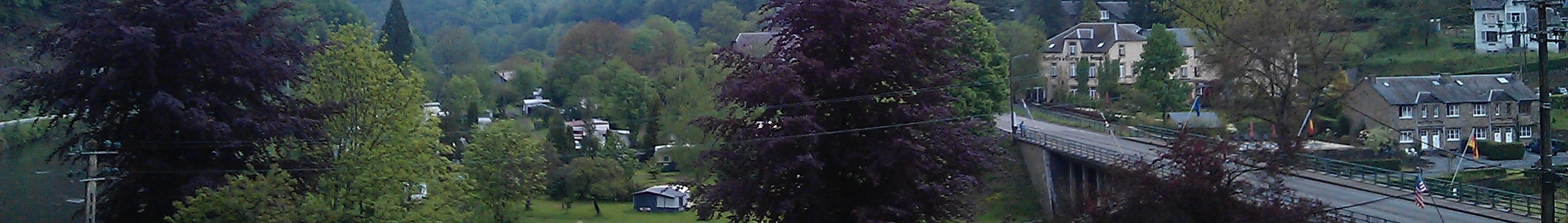
[edit]| Description | Le pont de Alle |
| Date | Taken on 20 May 2012 |
| Source | https://www.panoramio.com/photo/74607434 |
| Author | sankasssss |
| Permission (Reusing this file) |
This file is licensed under the Creative Commons Attribution 3.0 Unported license. Attribution: sankasssss
|
| Other versions | |
| Tags (from Panoramio photo page) | Vresse-sur-Semois |

| Camera location | | View this and other nearby images on: OpenStreetMap |
|---|
File history
Click on a date/time to view the file as it appeared at that time.
| Date/Time | Thumbnail | Dimensions | User | Comment | |
|---|---|---|---|---|---|
| current | 12:49, 20 June 2018 | 2,592 × 370 (641 KB) | FredTC (talk | contribs) | File:Le pont de Alle - panoramio.jpg cropped 76 % vertically using CropTool with precise mode. |
You cannot overwrite this file.
File usage on Commons
The following page uses this file:
File usage on other wikis
The following other wikis use this file:
- Usage on eo.wikipedia.org
- Usage on nl.wikivoyage.org
- Usage on www.wikidata.org