File:Location map Madrid.png
Jump to navigation
Jump to search
Size of this preview: 671 × 600 pixels. Other resolutions: 269 × 240 pixels | 537 × 480 pixels | 901 × 805 pixels.
Original file (901 × 805 pixels, file size: 1.02 MB, MIME type: image/png)
Captions
Captions
Add a one-line explanation of what this file represents
Summary[edit]
| Description |
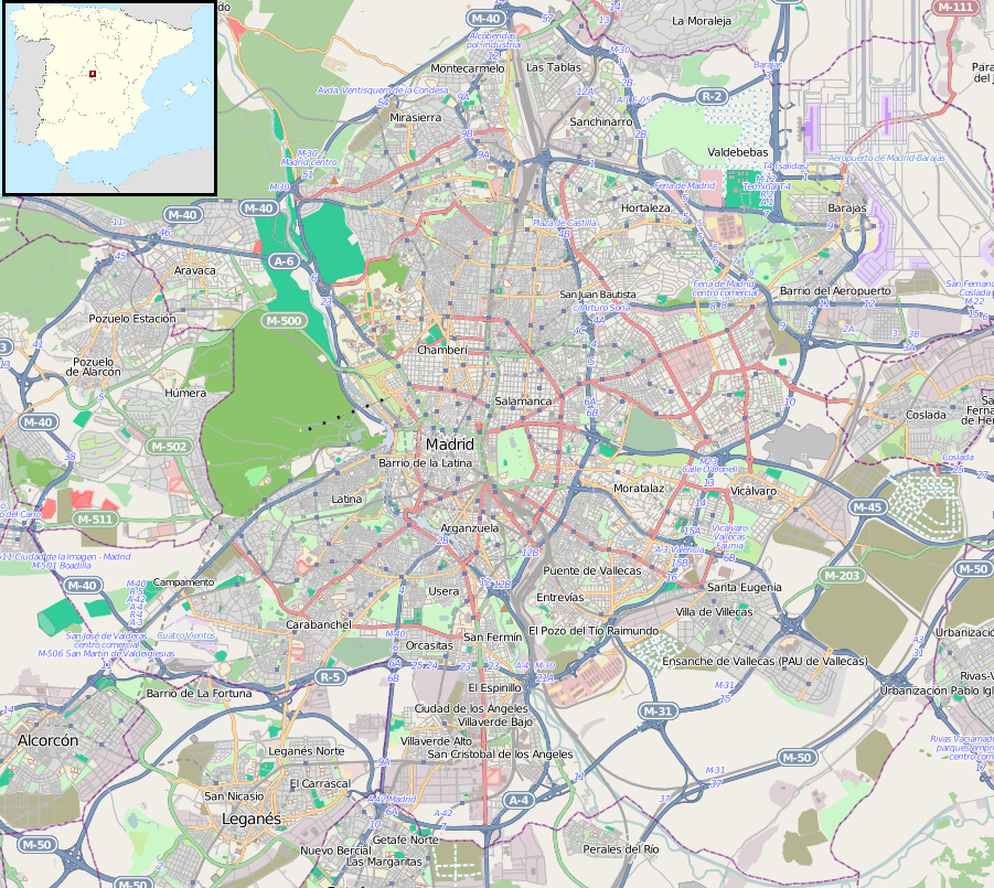
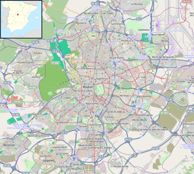
English: Map of Madrid, Spain.
Español: Mapa de Madrid, España.
Geographic limits of the map:
|
| Date |
|
| Source | |
| Author |
|Source=Maps for Free (OSM). Insert modificayion of File:Spain location map.svg |Author=Dr. Blofeld, insert originally by Nordnordwest |Date=2011-05-30 |Permission= |other_versions= }}
Licensing[edit]
This file is licensed under the Creative Commons Attribution-Share Alike 2.0 Generic license.
- You are free:
- to share – to copy, distribute and transmit the work
- to remix – to adapt the work
- Under the following conditions:
- attribution – You must give appropriate credit, provide a link to the license, and indicate if changes were made. You may do so in any reasonable manner, but not in any way that suggests the licensor endorses you or your use.
- share alike – If you remix, transform, or build upon the material, you must distribute your contributions under the same or compatible license as the original.
File history
Click on a date/time to view the file as it appeared at that time.
| Date/Time | Thumbnail | Dimensions | User | Comment | |
|---|---|---|---|---|---|
| current | 18:22, 10 November 2011 | | 901 × 805 (1.02 MB) | Blofeld Dr. (talk | contribs) | |
| 15:47, 30 May 2011 |  | 901 × 805 (900 KB) | Blofeld Dr. (talk | contribs) | {{Information |Description ={{en|1=h}} |Source =h |Author =h |Date =h |Permission = |other_versions = }} |
You cannot overwrite this file.
File usage on Commons
The following page uses this file:
File usage on other wikis
The following other wikis use this file:
- Usage on af.wikipedia.org
- Usage on ar.wikipedia.org
- Usage on ast.wikipedia.org
- Usage on avk.wikipedia.org
- Usage on azb.wikipedia.org
- Usage on az.wikipedia.org
- Usage on ban.wikipedia.org
- Usage on bg.wikipedia.org
- Usage on bs.wikipedia.org
- Usage on ca.wikipedia.org
- Usage on ceb.wikipedia.org
- Usage on da.wikipedia.org
- Usage on en.wikipedia.org
- Madrid–Barajas Airport
- Madrid Atocha railway station
- Sabatini Gardens
- Manzanares Park
- Plaza Mayor, Madrid
- Madrid Chamartín railway station
- Vista Alegre (Madrid Metro)
- Quevedo (Madrid Metro)
- Madrid derby
- Torre PwC
- Barrio de la Concepción (Madrid Metro)
- Santiago Bernabéu (Madrid Metro)
- Nueva Numancia (Madrid Metro)
- Parque del Oeste
- Aeropuerto T1-T2-T3 (Madrid Metro)
- Avenida de América (Madrid Metro)
- Pueblo Nuevo (Madrid Metro)
- Juan Carlos I Park
- Nuevos Ministerios (Madrid Metro)
- Basilica of Nuestra Señora de Atocha
- Matadero Madrid
- Gran Vía (Madrid Metro)
- Module:Location map/data/Spain Madrid/doc
- La Latina (Madrid Metro)
- Hotel Florida (Madrid)
- Grand Hôtel de París
View more global usage of this file.