File:Looking out to Tusker Rock from Ogmore - geograph.org.uk - 209352.jpg
Jump to navigation
Jump to search
Size of this preview: 450 × 600 pixels. Other resolutions: 180 × 240 pixels | 480 × 640 pixels.
Original file (480 × 640 pixels, file size: 83 KB, MIME type: image/jpeg)
Captions
Captions
Add a one-line explanation of what this file represents
Summary
[edit]
| Description |
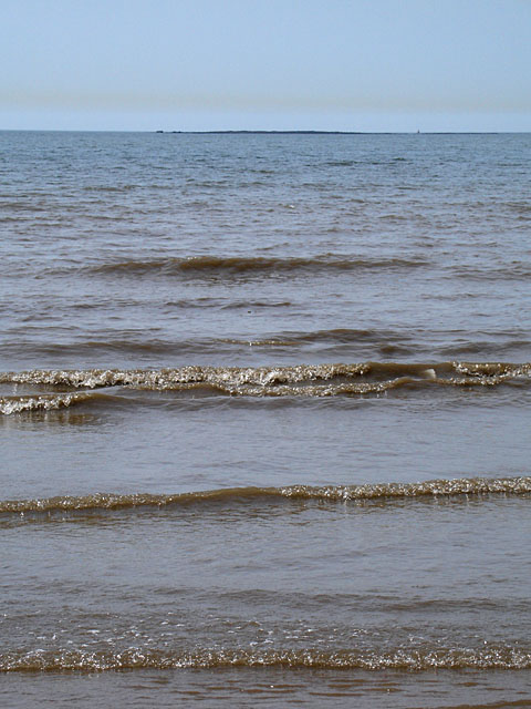
English: Looking out to Tusker Rock from Ogmore. Tusker Rock (on the horizon) appears at low tide Grid Ref SS8474, and takes its name from Tuska the Viking. There are many ships which have been wrecked on Tusker Rock over the years.
Photograph taken whilst standing on Ogmore beach at low tide. Tusker Rock is about 1.75km away. |
| Date | |
| Source | From geograph.org.uk |
| Author | Linda Bailey |
| Attribution (required by the license) | Linda Bailey / Looking out to Tusker Rock from Ogmore / |
| Camera location | | View this and other nearby images on: OpenStreetMap |
|---|
_heading:225.00&language=en)
| Object location | | View this and other nearby images on: OpenStreetMap |
|---|
_heading:225.00&language=en)
Licensing
[edit]

|
This image was taken from the Geograph project collection. See this photograph's page on the Geograph website for the photographer's contact details. The copyright on this image is owned by Linda Bailey and is licensed for reuse under the Creative Commons Attribution-ShareAlike 2.0 license.
|
This file is licensed under the Creative Commons Attribution-Share Alike 2.0 Generic license.
Attribution: Linda Bailey
- You are free:
- to share – to copy, distribute and transmit the work
- to remix – to adapt the work
- Under the following conditions:
- attribution – You must give appropriate credit, provide a link to the license, and indicate if changes were made. You may do so in any reasonable manner, but not in any way that suggests the licensor endorses you or your use.
- share alike – If you remix, transform, or build upon the material, you must distribute your contributions under the same or compatible license as the original.
File history
Click on a date/time to view the file as it appeared at that time.
| Date/Time | Thumbnail | Dimensions | User | Comment | |
|---|---|---|---|---|---|
| current | 20:00, 31 January 2010 | | 480 × 640 (83 KB) | GeographBot (talk | contribs) | == {{int:filedesc}} == {{Information |description={{en|1=Looking out to Tusker Rock from Ogmore. Tusker Rock (on the horizon) appears at low tide Grid Ref SS8474, and takes its name from Tuska the Viking. There are many ships which have been wrecked o |
You cannot overwrite this file.
File usage on Commons
There are no pages that use this file.
File usage on other wikis
The following other wikis use this file:
- Usage on fr.wikipedia.org