File:Louit sunrise.JPG
Jump to navigation
Jump to search
Size of this preview: 800 × 600 pixels. Other resolutions: 320 × 240 pixels | 640 × 480 pixels | 1,024 × 768 pixels | 1,280 × 960 pixels | 2,048 × 1,536 pixels.
Original file (2,048 × 1,536 pixels, file size: 1.02 MB, MIME type: image/jpeg)
Captions
Captions
Add a one-line explanation of what this file represents
| Description |
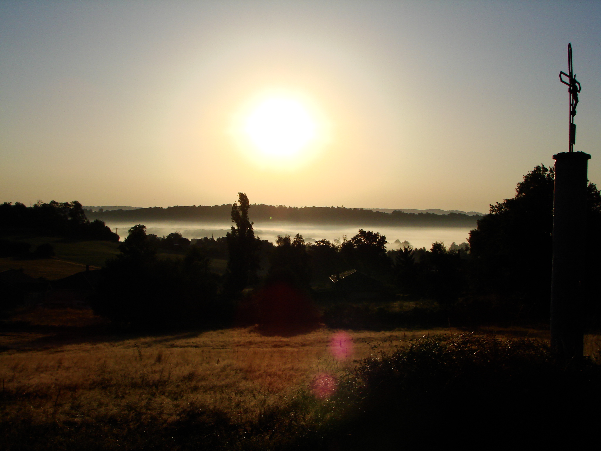
Vue du village de Louit dans les Hautes-Pyrénées (France) : Vue du village dans la brume matinale (vue prise depuis le sentier menant à Dours) |
||
| Date |
Français : —————————————————————————————————— * Date et temps de création des données : voir la section "Métadonnées" plus bas, * Importé sur Commons à 23:47, 17 August 2008 (UTC). English: ————————————————————————————— * Date and time of data generation : see the section "Metadata" below, * Uploaded on Commons at 23:47, 17 August 2008 (UTC). |
||
| Source | Own work | ||
| Author | Guérin Nicolas (messages) | ||
| Permission (Reusing this file) |
Travail personnel sous licences libres (voir ci-dessous), choisissez une licence : GFDL si le texte accompagnateur est sous GFDL, Creative Commons CC-BY-SA-3.0 pour tout texte (non libre) sous une autre licence. Ces licences ne concernent que la photo. Application : mettre un lien vers cette page ou sinon la mention "GFDL Guerin Nicolas" ou "cc-by-sa-3.0 Guerin Nicolas" contre la photo. I, the copyright holder of this work, hereby publish it under the following licenses: This file is licensed under the Creative Commons Attribution-Share Alike 3.0 Unported license.
You may select the license of your choice. |

| Camera location | | View this and other nearby images on: OpenStreetMap |
|---|
File history
Click on a date/time to view the file as it appeared at that time.
| Date/Time | Thumbnail | Dimensions | User | Comment | |
|---|---|---|---|---|---|
| current | 23:47, 17 August 2008 | | 2,048 × 1,536 (1.02 MB) | Guérin Nicolas (talk | contribs) | {{Information |Description=Vue du village de Louit dans les Hautes-Pyrénées (France) : Vue du village dans la brume matinale (vue prise depuis le sentier menant à Dours) |Source={{fr|œuvre personnelle.}}{{en|own work.}} | |
You cannot overwrite this file.
File usage on Commons
The following 3 pages use this file:
File usage on other wikis
The following other wikis use this file:
- Usage on an.wikipedia.org
- Usage on ca.wikipedia.org
- Usage on ceb.wikipedia.org
- Usage on ce.wikipedia.org
- Usage on en.wikipedia.org
- Usage on eu.wikipedia.org
- Usage on fr.wikipedia.org
- Usage on hu.wikipedia.org
- Usage on it.wikipedia.org
- Usage on la.wikipedia.org
- Usage on ms.wikipedia.org
- Usage on oc.wikipedia.org
- Usage on pl.wikipedia.org
- Usage on ro.wikipedia.org
- Usage on ru.wikipedia.org
- Usage on sk.wikipedia.org
- Usage on sv.wikipedia.org
- Usage on tt.wikipedia.org
- Usage on uk.wikipedia.org
- Usage on vec.wikipedia.org
- Usage on vi.wikipedia.org
- Usage on www.wikidata.org
- Usage on zh-min-nan.wikipedia.org