File:Maanmittauslaitos yleiskartta 1-1M.jpg
Jump to navigation
Jump to search

Size of this preview: 368 × 599 pixels. Other resolutions: 147 × 240 pixels | 295 × 480 pixels | 472 × 768 pixels | 629 × 1,024 pixels | 1,258 × 2,048 pixels | 7,297 × 11,880 pixels.
Original file (7,297 × 11,880 pixels, file size: 36.27 MB, MIME type: image/jpeg)
Captions
Captions
Add a one-line explanation of what this file represents
| Warning | The original file is very high-resolution. It might not load properly or could cause your browser to freeze when opened at full size. |
|---|
Summary[edit]
| Description |
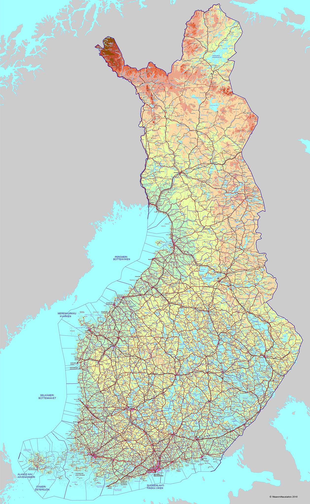
English: National Land Survey of Finland general map 1:1 000 000 (2010)
Suomi: Maanmittauslaitoksen yleiskartta 1:1 000 000 (2010)
Svenska: Lantmäteriverkets generalkarta 1:1 000 000 (2010) |
|||||||||||||||||||||||
| Date | ||||||||||||||||||||||||
| Source |
National Land Survey of Finland free of charge digital maps
|
|||||||||||||||||||||||
| Author | Maanmittauslaitos 2010 | |||||||||||||||||||||||
| Permission (Reusing this file) |
|
|||||||||||||||||||||||


File history
Click on a date/time to view the file as it appeared at that time.
| Date/Time | Thumbnail | Dimensions | User | Comment | |
|---|---|---|---|---|---|
| current | 02:26, 27 March 2011 | | 7,297 × 11,880 (36.27 MB) | Hydrox (talk | contribs) | == {{int:filedesc}} == {{Information |Description= {{en|National Land Survey of Finland general map 1:1 000 000 (2010)}} {{fi|Maanmittauslaitoksen yleiskartta 1:1 000 000 (2010)}} {{sv|Lantmäteriverkets generalkarta 1:1 000 000 (2010)}} |Source=[http://w |
You cannot overwrite this file.
File usage on Commons
There are no pages that use this file.