File:Madhya Pradesh districts location map big.svg
Jump to navigation
Jump to search

Size of this PNG preview of this SVG file: 800 × 563 pixels. Other resolutions: 320 × 225 pixels | 640 × 450 pixels | 1,024 × 720 pixels | 1,280 × 900 pixels | 2,560 × 1,800 pixels | 1,041 × 732 pixels.
Original file (SVG file, nominally 1,041 × 732 pixels, file size: 313 KB)
Captions
Captions
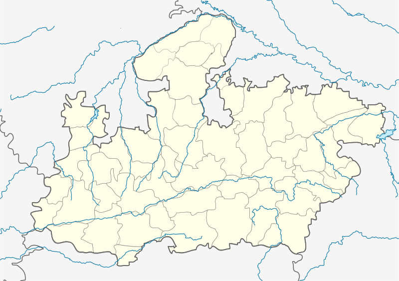
Katangi Balaghat, Madhya Pradesh
Summary[edit]
| Description |
English: Locator map of Madhya Pradesh. Geographical limits of the map: * N: 27.15°N * S: 20.75°N * E: 83.1°E * W: 73.2°E Français : Carte de localisation du Madhya Pradesh, Inde. |
| Date | |
| Source | File:India Madhya Pradesh location map.svg |
| Author | Planemad, Nayvik, Yann (talk) |
| Other versions |
|

Licensing[edit]
This file is licensed under the Creative Commons Attribution-Share Alike 3.0 Unported license.
- You are free:
- to share – to copy, distribute and transmit the work
- to remix – to adapt the work
- Under the following conditions:
- attribution – You must give appropriate credit, provide a link to the license, and indicate if changes were made. You may do so in any reasonable manner, but not in any way that suggests the licensor endorses you or your use.
- share alike – If you remix, transform, or build upon the material, you must distribute your contributions under the same or compatible license as the original.
File history
Click on a date/time to view the file as it appeared at that time.
| Date/Time | Thumbnail | Dimensions | User | Comment | |
|---|---|---|---|---|---|
| current | 16:00, 21 April 2020 | | 1,041 × 732 (313 KB) | C1MM (talk | contribs) | Added rivers and new district |
| 13:59, 25 February 2013 |  | 1,041 × 732 (179 KB) | MaxxL (talk | contribs) | 9 districts color adjusted | |
| 13:29, 25 February 2013 |  | 1,041 × 732 (179 KB) | MaxxL (talk | contribs) | rectified - colors adjusted | |
| 11:48, 25 February 2013 |  | 1,041 × 732 (176 KB) | MaxxL (talk | contribs) | minor changes | |
| 20:57, 23 February 2013 |  | 1,041 × 732 (176 KB) | MaxxL (talk | contribs) | com:Graphic Lab/Map workshop#Adding new districts in Madhya Pradesh | |
| 14:12, 13 February 2012 |  | 1,041 × 732 (148 KB) | Yann (talk | contribs) | {{Information |Description={{en|Locator map of Madhya Pradesh.}} |Source=File:India Madhya Pradesh location map.svg |Date=2012 |Author= User:Planemad, User:Nayvik, ~~~ |Permission= |other_versions= <gallery> File:India |
You cannot overwrite this file.
File usage on Commons
The following 3 pages use this file:
File usage on other wikis
The following other wikis use this file:
- Usage on ar.wikipedia.org
- Usage on azb.wikipedia.org
- اودانخدی
- ماردانا, مادهیا پرادش
- ناسرولاقانج
- ماندهاتا
- جهیرنیا, مادهیا پرادش
- جئونارا
- سلیمان آباد
- مالپار
- رانقواسا
- سیرالی
- رامپور کالان
- ماخوری
- جاقوتی
- ماهبا (هیندوستان)
- ماقرورا
- رایپورا
- سقون, مادهیا پرادش
- وارلا, مادهیا پرادش
- هارانا, راجقاره
- پیپلیا سیسودیا
- پیپارییا ناق
- هاندیا, مادهیا پرادش
- قیاراسپور
- قوحیصار
- اوتیلا فورت
- پاوارخدا
- قوقارا
- دئولوند
- اوزار, مادهیا پرادش
- قاداسارای
- نیوالی, مادهیا پرادش
- اندوری (هیندوستان)
- چیرولا, داتیا
- چیراخان
- دودارسی
- دوراها, سهور
- ناوقاده
- دونقارقون
- دونقارقون, آقار مالوا
- بوراوان
- بورانی ویلیج
- موتالا, مادهیا پرادش
- بوهانی (هیندوستان)
- بیلهتی (هیندوستان)
- مهیدپور رواد
- بامورا خاس
- باقوانپورا, مادهیا پرادش
- سوپییا
- سویات خورد
View more global usage of this file.