File:Madhya Pradesh location map.svg
Jump to navigation
Jump to search

Size of this PNG preview of this SVG file: 800 × 519 pixels. Other resolutions: 320 × 208 pixels | 640 × 415 pixels | 1,024 × 665 pixels | 1,280 × 831 pixels | 2,560 × 1,661 pixels | 1,473 × 956 pixels.
Original file (SVG file, nominally 1,473 × 956 pixels, file size: 466 KB)
Captions
Captions
Add a one-line explanation of what this file represents
Summary[edit]
| Description |
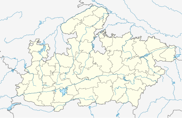
English: Borders from Govt of India (compiled by Planner Vijay Meena for public use). Rivers and lakes from GSHHG. |
| Date | |
| Source | Own work |
| Author | C1MM |
Licensing[edit]
I, the copyright holder of this work, hereby publish it under the following license:
This file is licensed under the Creative Commons Attribution-Share Alike 4.0 International license.
- You are free:
- to share – to copy, distribute and transmit the work
- to remix – to adapt the work
- Under the following conditions:
- attribution – You must give appropriate credit, provide a link to the license, and indicate if changes were made. You may do so in any reasonable manner, but not in any way that suggests the licensor endorses you or your use.
- share alike – If you remix, transform, or build upon the material, you must distribute your contributions under the same or compatible license as the original.
File history
Click on a date/time to view the file as it appeared at that time.
| Date/Time | Thumbnail | Dimensions | User | Comment | |
|---|---|---|---|---|---|
| current | 02:59, 16 May 2021 | | 1,473 × 956 (466 KB) | C1MM (talk | contribs) | Corrected rivers and dist boundaries |
| 19:24, 16 February 2021 |  | 1,829 × 1,187 (1.32 MB) | C1MM (talk | contribs) | Fixed Mandla dist | |
| 06:36, 1 February 2021 |  | 1,829 × 1,187 (1.35 MB) | C1MM (talk | contribs) | Corrected some district borders | |
| 07:38, 13 December 2020 |  | 1,829 × 1,187 (1.34 MB) | C1MM (talk | contribs) | Fixed district boundaries | |
| 18:48, 21 May 2020 |  | 1,829 × 1,187 (1.34 MB) | C1MM (talk | contribs) | Corrected Shahdol/Anuppur district boundaries | |
| 00:49, 16 May 2020 |  | 1,829 × 1,187 (1.34 MB) | C1MM (talk | contribs) | Uploaded own work with UploadWizard |
You cannot overwrite this file.
File usage on Commons
There are no pages that use this file.
File usage on other wikis
The following other wikis use this file:
- Usage on awa.wikipedia.org
- Usage on bn.wikipedia.org
- ভোপাল
- অশোকনগর
- নরসিংগড়
- খড়গপুর, মধ্যপ্রদেশ
- শাহপুর
- ছত্তরপুর
- গোবিন্দগড়
- পালি
- রতনগড়
- আলিরাজপুর
- ছিন্দওয়াড়া
- হুরু ছিন্দওয়ারা (গোতেগাঁও)
- চিচলি
- চিত্রকূট
- চুরহাত
- আলোট
- দাবোহ
- দাব্রা
- দামোহ
- দামুওয়া
- দাতিয়া
- দিওদারা
- দেওরি
- দেপালপুর
- আমানগঞ্জ
- দেবেন্দ্রনগর
- দেবহারা
- দেওয়াস
- অমরকণ্টক
- ধাম্নোদ
- ধানা
- অমরপাতান
- ধনপুরি
- ধার
- ধরমপুর
- অমরওয়ারা
- আমবড়া
- দিঘবানী
- আম্বা
- দিকেন
- দিন্দোরি
- দোলা
- দোঙ্গার পারসিয়া
- দুমার কাছাড়
- জি.সি.এফ জবলপুর
- গন্দরওয়ারা
- গিরাটগঞ্জ
- গ্রহিকোটা
- গ্রহি-মালহারা
View more global usage of this file.