File:Makhinjauri Open Street Map.png
Jump to navigation
Jump to search

Size of this preview: 530 × 600 pixels. Other resolutions: 212 × 240 pixels | 424 × 480 pixels | 678 × 768 pixels | 1,113 × 1,260 pixels.
Original file (1,113 × 1,260 pixels, file size: 366 KB, MIME type: image/png)
Captions
Captions
Add a one-line explanation of what this file represents
Summary[edit]
| Description |
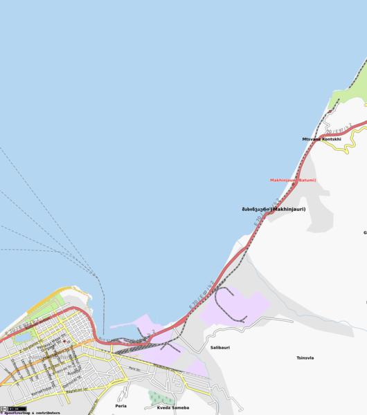
This map was created from OpenStreetMap project data, collected by the community. This map may be incomplete, and may contain errors. Don't rely solely on it for navigation. |
| Date | (see file history) |
| Source | You may find a page on the OpenStreetMap wiki page for Makhinjauri |
| Creator |
OpenStreetMap contributors |
| Permission (Reusing this file) |
OpenStreetMap data and maps are licensed under the Creative Commons Attribution-ShareAlike 2.0 license (CC-BY-SA 2.0). This file is licensed under the Creative Commons Attribution-Share Alike 2.0 Generic license.
|
| Georeferencing | If inappropriate please set warp_status = skip to hide. |
File history
Click on a date/time to view the file as it appeared at that time.
| Date/Time | Thumbnail | Dimensions | User | Comment | |
|---|---|---|---|---|---|
| current | 17:03, 22 April 2011 | | 1,113 × 1,260 (366 KB) | Kober (talk | contribs) | == {{int:filedesc}} == {{Information |Description={{OpenStreetMap|name=Makhinjauri}} |Source=[http://www.openstreetmap.org/?lat=41.6728&lon=41.6679&zoom=13&layers=M] |Date=April 22, 2011 |Author={{OpenStreetMap|name=Makhinjauri}} |Permission={{OpenS |
You cannot overwrite this file.
File usage on Commons
There are no pages that use this file.