File:Map NL - Nijkerk - De Veenhuis.svg
Jump to navigation
Jump to search

Size of this PNG preview of this SVG file: 800 × 600 pixels. Other resolutions: 320 × 240 pixels | 640 × 480 pixels | 1,024 × 768 pixels | 1,280 × 960 pixels | 2,560 × 1,920 pixels.
Original file (SVG file, nominally 800 × 600 pixels, file size: 15 KB)
Captions
Captions
Add a one-line explanation of what this file represents
Summary
[edit]
| Description |
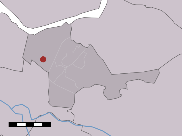
English: Map of De Veenhuis, municipality of Nijkerk, the Netherlands |
| Date | between 2001 and 2006 |
| Source | Centraal Bureau voor de Statistiek |
| Author | Centraal Bureau voor de Statistiek |
Licensing
[edit]

|
The copyright holder of this file, Centraal Bureau voor de Statistiek, allows anyone to use it for any purpose, provided that the copyright holder is properly attributed. Redistribution, derivative work, commercial use, and all other use is permitted. |
Attribution:
|
File history
Click on a date/time to view the file as it appeared at that time.
| Date/Time | Thumbnail | Dimensions | User | Comment | |
|---|---|---|---|---|---|
| current | 11:15, 17 April 2006 | | 800 × 600 (15 KB) | Eugene van der Pijll (talk | contribs) | Map of De Veenhuis, municipality of Nijkerk, the Netherlands. {{Statistics Netherlands map}} Category:Maps of Gelderland |
You cannot overwrite this file.
File usage on Commons
There are no pages that use this file.
File usage on other wikis
The following other wikis use this file:
- Usage on en.wikipedia.org
- Usage on fa.wikipedia.org
- Usage on nds-nl.wikipedia.org
- Usage on pt.wikipedia.org