File:Map Petrogradsky Island.png
Jump to navigation
Jump to search
No higher resolution available.
Map_Petrogradsky_Island.png (587 × 343 pixels, file size: 292 KB, MIME type: image/png)
Captions
Captions
Add a one-line explanation of what this file represents
| Description | |
| Date | |
| Source | http://www.openstreetmap.org/ |
| Author | OpenStreetMap & contributors |
| Permission (Reusing this file) |
All OpenStreetMap data and maps are Creative Commons licensed: This file is licensed under the Creative Commons Attribution-Share Alike 2.0 Generic license.
|
| Other versions |
 |
File history
Click on a date/time to view the file as it appeared at that time.
| Date/Time | Thumbnail | Dimensions | User | Comment | |
|---|---|---|---|---|---|
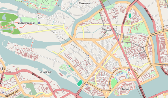
| current | 18:28, 24 September 2009 | | 587 × 343 (292 KB) | Gruznov (talk | contribs) | {{Information |Description={{en|1=Map of Petrogradsky Island, Saint Petersburg}} |Source=http://www.openstreetmap.org/ [http://www.openstreetmap.org/?lat=59.9727&lon=30.25&zoom=14&layers=B0FT] |Date= 20 |
You cannot overwrite this file.
File usage on Commons
The following page uses this file:
File usage on other wikis
The following other wikis use this file:
- Usage on de.wikipedia.org
- Usage on en.wikipedia.org
- Usage on es.wikipedia.org
- Usage on fr.wikipedia.org
- Usage on ru.wikipedia.org
- Usage on sl.wikipedia.org
- Usage on tr.wikipedia.org