File:Map of Glacier Bay National Park.png
Jump to navigation
Jump to search

Size of this preview: 662 × 599 pixels. Other resolutions: 265 × 240 pixels | 530 × 480 pixels | 848 × 768 pixels | 1,131 × 1,024 pixels | 2,262 × 2,048 pixels | 3,214 × 2,910 pixels.
Original file (3,214 × 2,910 pixels, file size: 6.08 MB, MIME type: image/png)
Captions
Captions
Add a one-line explanation of what this file represents
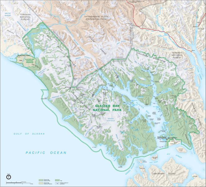
| Description | Map_of Glacier Bay National Park |
| Source | http://www.nps.gov |
| Author | National Park Service, Harpers Ferry Center |
| This image or media file contains material based on a work of a National Park Service employee, created as part of that person's official duties. As a work of the U.S. federal government, such work is in the public domain in the United States. See the NPS website and NPS copyright policy for more information. |
File history
Click on a date/time to view the file as it appeared at that time.
| Date/Time | Thumbnail | Dimensions | User | Comment | |
|---|---|---|---|---|---|
| current | 06:22, 10 January 2016 | | 3,214 × 2,910 (6.08 MB) | Brian W. Schaller (talk | contribs) | Reverted to version as of 20:15, 27 August 2006 (UTC) - higher resolution |
| 17:01, 15 August 2010 |  | 606 × 496 (589 KB) | Nvvchar (talk | contribs) | Cropped to size | |
| 20:15, 27 August 2006 |  | 3,214 × 2,910 (6.08 MB) | Huebi~commonswiki (talk | contribs) | {{Information |Description=Map_of Glacier Bay National Park |Source=http://www.nps.gov |Date= |Author= |Permission= |other_versions= }} {{PD-USGov-NPS}} category:Glacier Bay National Park |
You cannot overwrite this file.
File usage on Commons
The following page uses this file:
File usage on other wikis
The following other wikis use this file:
- Usage on da.wikipedia.org
- Usage on de.wikipedia.org
- Usage on en.wikipedia.org
- Usage on es.wikipedia.org
- Usage on fa.wikipedia.org
- Usage on fr.wikipedia.org
- Usage on he.wikipedia.org
- Usage on hr.wikipedia.org
- Usage on is.wikipedia.org
- Usage on nl.wikipedia.org
- Usage on no.wikipedia.org
- Usage on pt.wikipedia.org
- Usage on sh.wikipedia.org
- Usage on tr.wikipedia.org