File:Map of Goshen, NY.gif
Jump to navigation
Jump to search
No higher resolution available.
Map_of_Goshen,_NY.gif (422 × 359 pixels, file size: 12 KB, MIME type: image/gif)
Captions
Captions
Add a one-line explanation of what this file represents
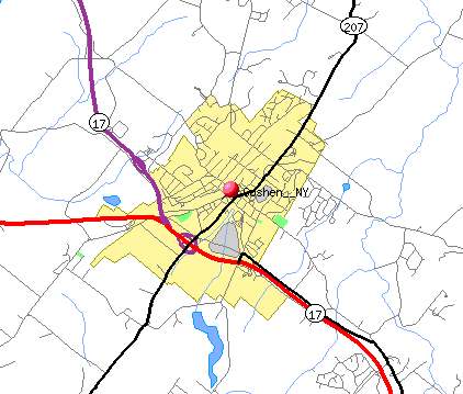
| Description | Map of the village of Goshen, New York, USA | |||
| Date | ||||
| Source | Created using online mapping software at the U.S. Census Bureau's TIGER website, with result here | |||
| Author | Daniel Case, but for copyright purposes this is public domain | |||
| Permission (Reusing this file) |
|

File history
Click on a date/time to view the file as it appeared at that time.
| Date/Time | Thumbnail | Dimensions | User | Comment | |
|---|---|---|---|---|---|
| current | 14:35, 28 July 2007 | | 422 × 359 (12 KB) | Daniel Case (talk | contribs) | {{Information |Description = Map of the village of Goshen, New York, USA |Source = Created using online mapping software at the U.S. Census Bureau's TIGER website, with result [http://tiger.census.gov/cgi-bin/mapper/map |
You cannot overwrite this file.
File usage on Commons
There are no pages that use this file.