File:Map of Okinawa Prefecture with administrative division lines.svg
Jump to navigation
Jump to search

Size of this PNG preview of this SVG file: 800 × 480 pixels. Other resolutions: 320 × 192 pixels | 1,024 × 614 pixels | 1,280 × 768 pixels | 2,560 × 1,536 pixels.
Original file (SVG file, nominally 1,000 × 600 pixels, file size: 1.52 MB)
Captions
Captions
Add a one-line explanation of what this file represents
Summary[edit]
| Description |
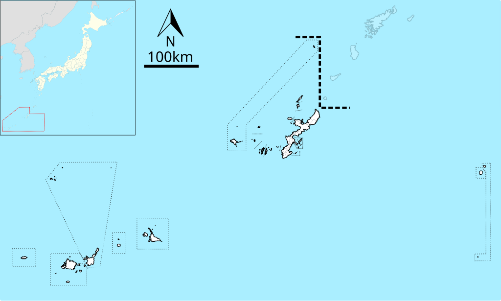
English: Map of Okinawa Prefecture with administrative division lines
日本語: 日本・沖縄県の全域地図。点線は市町村の境界線。 |
| Date | |
| Source |
Using File:Japan location map.svg(GFDL or CC-BY-SA-3.0), and the orientation symbol File:North Pointer.svg(PD) English: Created based on the map of Geospatial Information Authority of Japan (Link)
日本語: 国土地理院の地理院地図を基に作成 |
| Author | Own work |
| Other versions |
|


This W3C-unspecified vector image was created with Inkscape .
Licensing[edit]
I, the copyright holder of this work, hereby publish it under the following license:
This file is licensed under the Creative Commons Attribution-Share Alike 3.0 Unported license.
- You are free:
- to share – to copy, distribute and transmit the work
- to remix – to adapt the work
- Under the following conditions:
- attribution – You must give appropriate credit, provide a link to the license, and indicate if changes were made. You may do so in any reasonable manner, but not in any way that suggests the licensor endorses you or your use.
- share alike – If you remix, transform, or build upon the material, you must distribute your contributions under the same or compatible license as the original.
File history
Click on a date/time to view the file as it appeared at that time.
| Date/Time | Thumbnail | Dimensions | User | Comment | |
|---|---|---|---|---|---|
| current | 08:48, 2 October 2021 | | 1,000 × 600 (1.52 MB) | Kugel~commonswiki (talk | contribs) | == {{int:filedesc}} == {{Information |Description={{en|Map of Okinawa Prefecture with administrative division lines}} {{ja|日本・沖縄県の全域地図。点線は市町村の境界線。}} |Source=Using File:Japan location map.svg(GFDL or CC-BY-SA-3.0), and the orientation symbol File:North Pointer.svg(PD) {{en|Created based on the map of Geospatial Information Authority of Japan ([http://maps.gsi.go.jp/ Link])}} {{ja|国土地理院の地理院地図を基に作成}} |Date=2021-10-02 |Author={{own}} |Permission= |other_versions=<gallery> File:Map of Ok... |
You cannot overwrite this file.
File usage on Commons
There are no pages that use this file.
File usage on other wikis
The following other wikis use this file:
- Usage on ja.wikipedia.org
- Usage on zh.wikipedia.org